Name/Title

Map

Entry/Object ID

2015.023.064a

Description

Donated by Island Conservation District Taken in 1940s? Adjoins 2015.023.053 and 2015.023.054 and 2015.023.063 16P55M24-IV203 R:27:1343-12:'*1000-4801N/122*25 
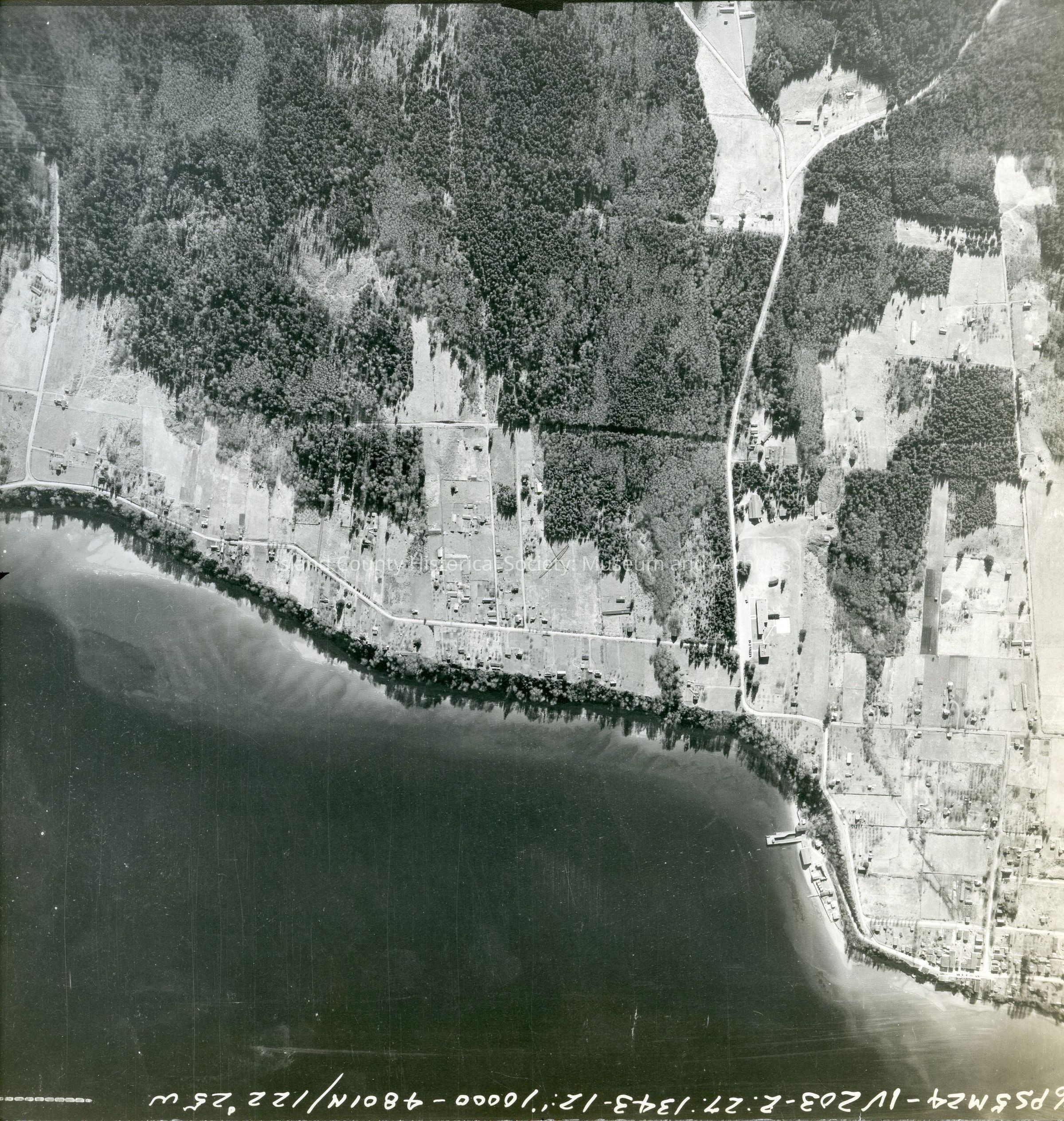
Langley and surrounding land. Land is on the western side of the photo with Sandy Point to the north. Main road leading to the Langley marina can be seen. Back states "Copied Dec. 20 195(8?) See GIS for digital copies. Mistake was made in numbering, 2015.023.063 and 2015.0023.064 match this point in the coastline.

Lexicon

Nomenclature 4.0

Nomenclature Secondary Object Term

Map

Nomenclature Primary Object Term

Cartograph

Nomenclature Sub-Class

Graphic Documents

Nomenclature Class

Documentary Objects

Nomenclature Category

Category 08: Communication Objects

Map Details

Area or Region

Region

Whidbey Island, Cascades and Plateau

State/Province

Washington

Continent

North America

County

Island County

Date Published

Jun 12, 2015

Medium

Photographic Paper

Relationships

Related Publications

Notes

RG 4 Maps