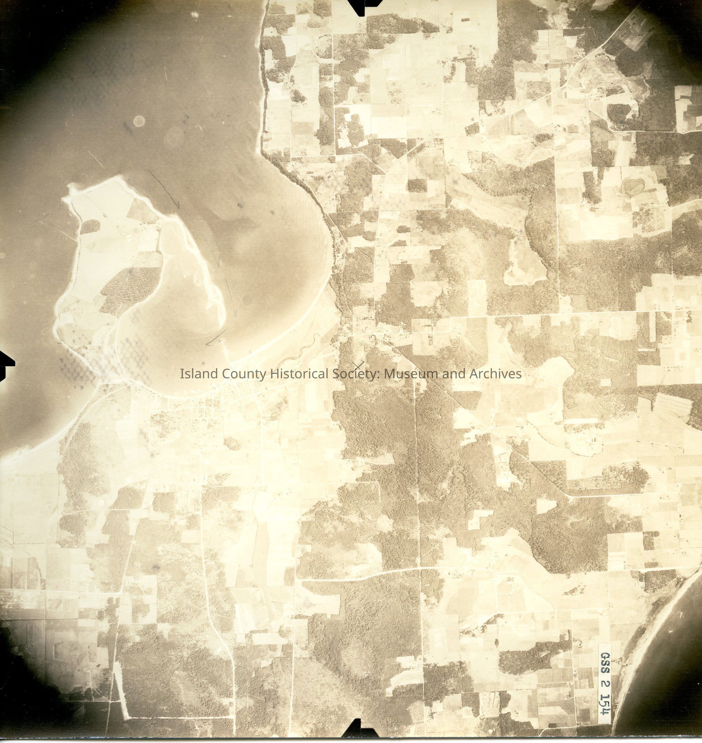
Donated by Island Conservation District
Taken on 27 June 1941
Adjoins 2015.023.080
GSS 2 154
Oak Harbor and surrounding farmland. Oak Harbor and Crescent Harbor at bottom.
Pencil X in the center; pencil marks around Maylor Point.
Back states "Copied Dec. 20 19(50?)"
See GIS for digital copies.