Name/Title

Map

Entry/Object ID

2015.023.142

Description

Donated by Island Conservation District Adjoins 2015.023.0138, 2015.023.139, 2015.023.140, 2015.023.141, and 2015.023.143 
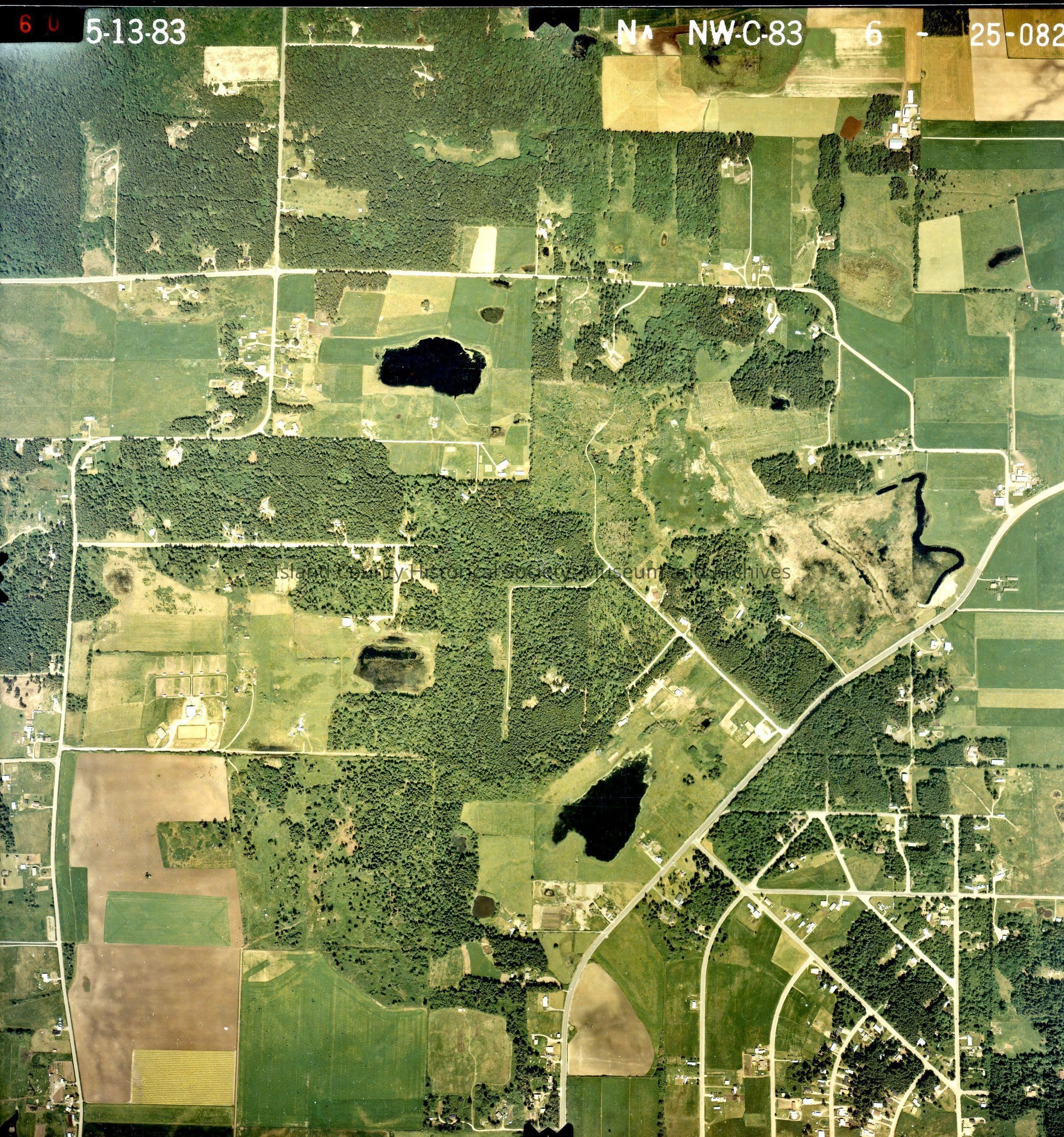
Photo taken 13 May 1983. N NW-C-83 6-25-082 San de Fuca area and surrounding farmland. SR-20 with 3 ponds amidst the farmland. See GIS for digital copies.

Lexicon

Nomenclature 4.0

Nomenclature Secondary Object Term

Map

Nomenclature Primary Object Term

Cartograph

Nomenclature Sub-Class

Graphic Documents

Nomenclature Class

Documentary Objects

Nomenclature Category

Category 08: Communication Objects

Map Details

Area or Region

Region

Whidbey Island, Cascades and Plateau

State/Province

Washington

Continent

North America

County

Island County

Date Published

Jun 12, 2015

Medium

Photographic Paper

Relationships

Related Publications

Notes

RG 4 Maps