Name/Title

Map

Entry/Object ID

2015.023.085a

Description

Donated by Island Conservation District Taken on 11 June 1941
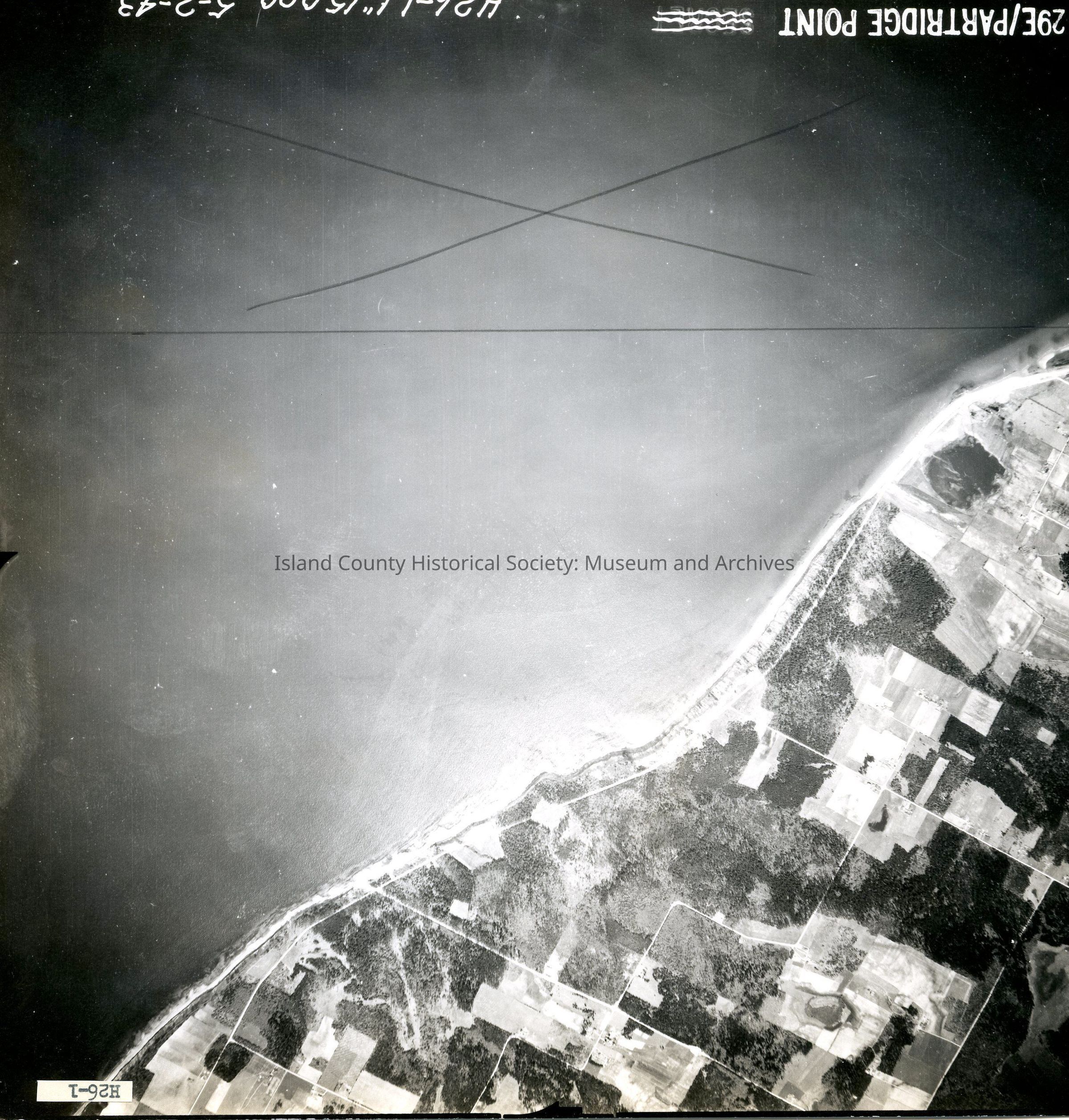
 29E/PARTRIDE POINT H26-1. 6""15.000. 5-2-43 Majority of photo is ocean but does contian land with roads & plots along upper left corner. Back states "Copied Oct. 20 1950" See GIS for digital copies.

Lexicon

Nomenclature 4.0

Nomenclature Secondary Object Term

Map

Nomenclature Primary Object Term

Cartograph

Nomenclature Sub-Class

Graphic Documents

Nomenclature Class

Documentary Objects

Nomenclature Category

Category 08: Communication Objects

Map Details

Date Published

Jun 18, 2015

Medium

Photographic Paper

Relationships

Related Publications

Notes

RG 4 Maps