Donated by Island Conservation District
Taken on 11 June 1941
Adjoins to 2015.023.092 and .094
29E/PARTRIDE POINT
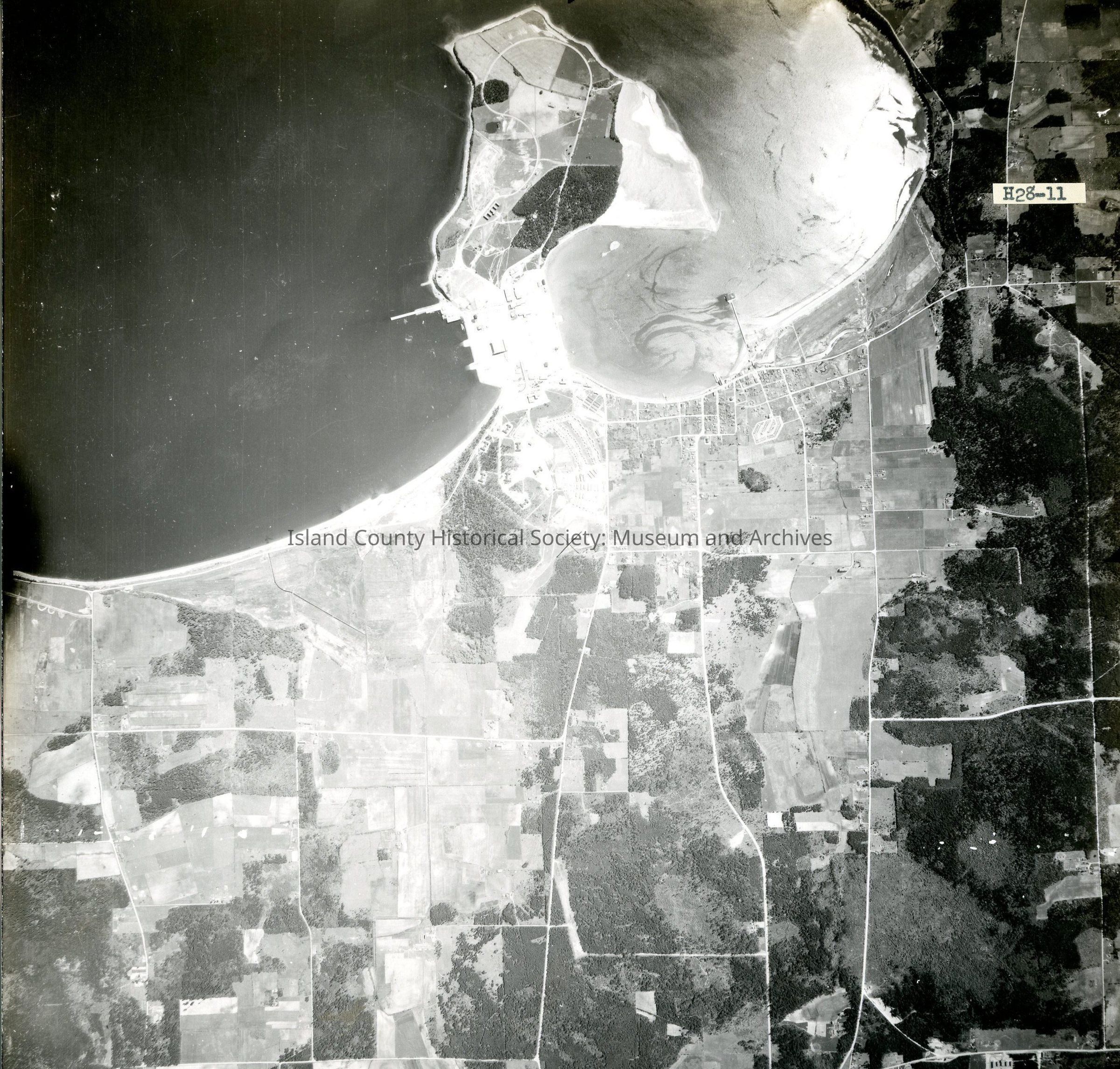
H28-11
View of Oak Harbor and Maylors Point, Navy SeaPlane facility, and Crescent Harbor.
States "Copied Dec 20 (blurred)"on back.
See GIS for digital copies.