Donated by Island Conservation District
Taken on 11 June 1941
Adjoins to 2015.023.096 and .098
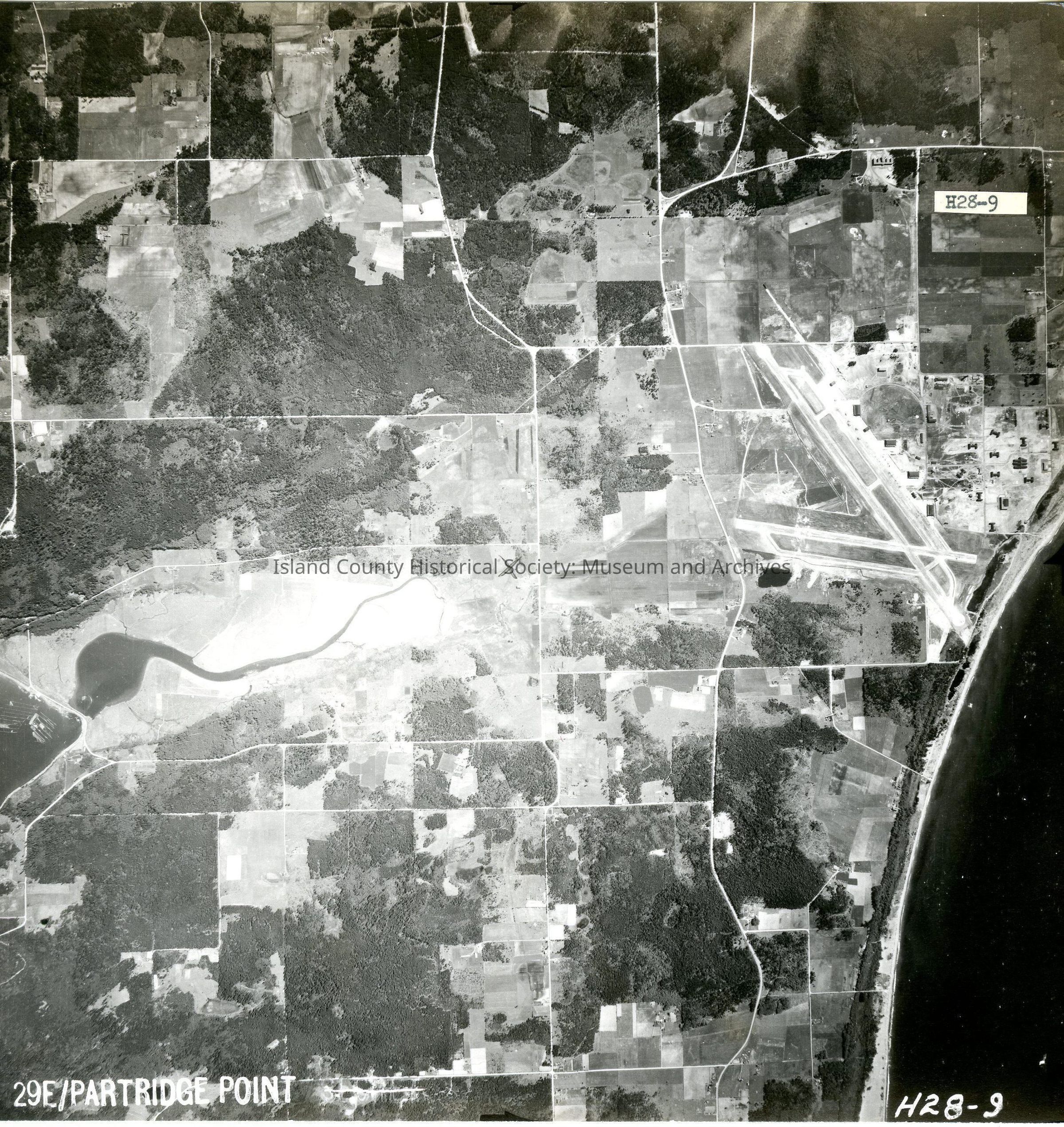
29E/PARTRIDE POINT
H28-9
View of Ault Airfield and land to the north. Small strip of shoreline along right side which is western coastline
On back: "Copied Dec 20 (blurred)"
See GIS for digital copies.