HUB
Collections
Classifications
About
App
Map
Map
-
Island County Historical Society
Name/Title
Map
Entry/Object ID
2015.023.114a
Description
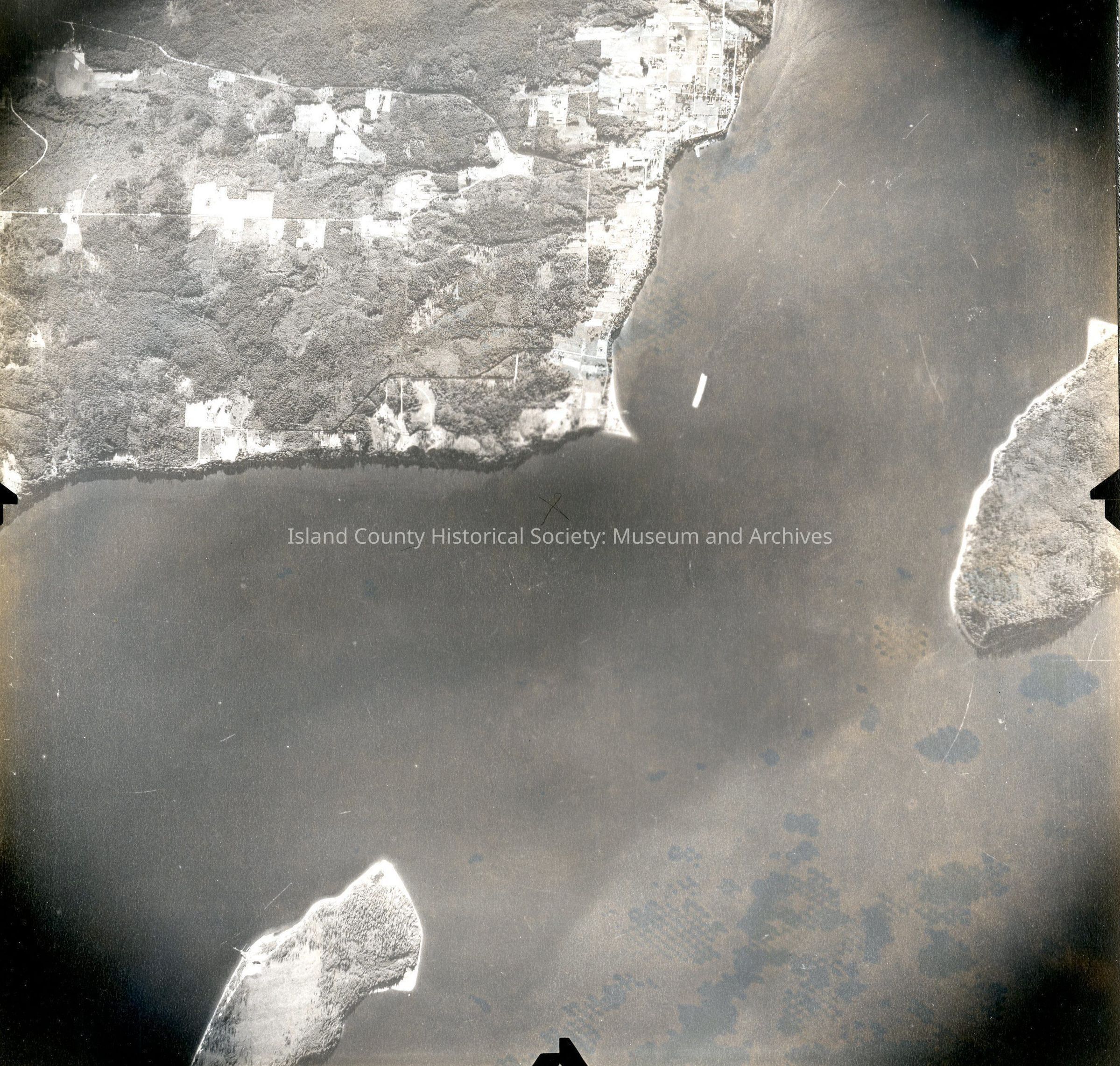
Donated by Island Conservation District Taken on 11 June 1941 7-9-41 GS S 4 73 Image of Hat Island (bottom left), Whidbey Island (top left) and Camano Island (middle right). Also Langley (top center). See GIS for digital copies.
Lexicon
Nomenclature 4.0
Nomenclature Secondary Object Term
Map
Nomenclature Primary Object Term
Cartograph
Nomenclature Sub-Class
Graphic Documents
Nomenclature Class
Documentary Objects
Nomenclature Category
Category 08: Communication Objects
Map Details
Area or Region
County
Island County
State/Province
Washington
Region
Cascades and Plateau
Continent
North America
Date Published
Jun 18, 2015
Medium
Photographic Paper
Relationships
Related Publications
Notes
RG 4 Maps