HUB
Collections
Classifications
About
App
Map
Map
-
Island County Historical Society
Name/Title
Map
Entry/Object ID
2015.023.007a
Description
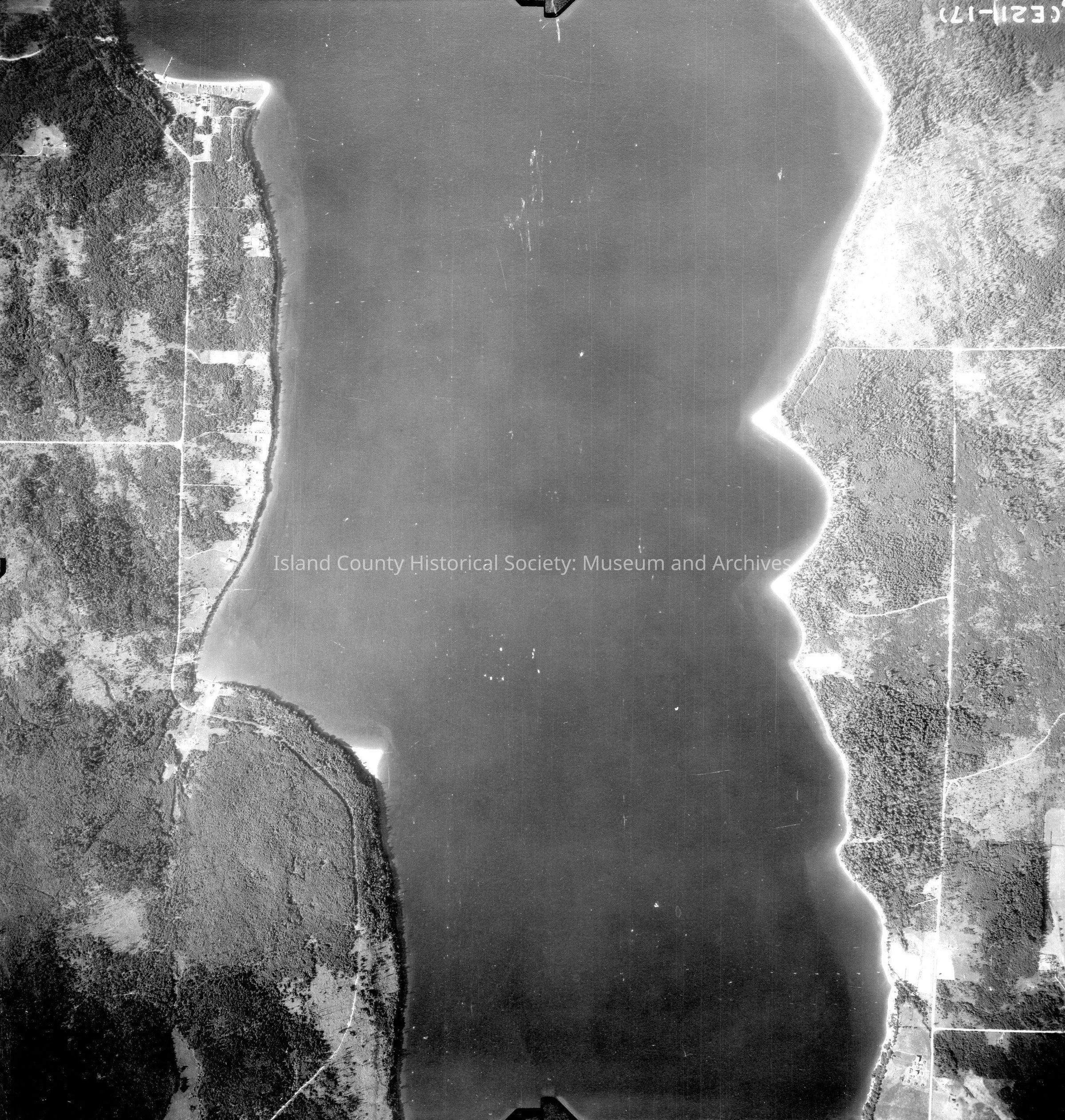
Donated by Island Conservation District Adjoins 2015.023.006 and 2015.023.008 Taken in the 1940s? 15-(E21-17) Holmes harbor runs north and south through the center of the image. Back states "Copied Dec. 20 1950" See GIS for digital copies
Lexicon
Nomenclature 4.0
Nomenclature Secondary Object Term
Map
Nomenclature Primary Object Term
Cartograph
Nomenclature Sub-Class
Graphic Documents
Nomenclature Class
Documentary Objects
Nomenclature Category
Category 08: Communication Objects
Map Details
Area or Region
Region
Whidbey Island,
Cascades and Plateau
State/Province
Washington
Continent
North America
County
Island County
Date Published
Jun 12, 2015
Medium
Photographic Paper
Relationships
Related Publications
Notes
RG 4 Maps