Name/Title

Map

Entry/Object ID

2015.023.021a

Description

Donated by Island Conservation District Adjoins 2015.023.020 and 2015.023.022
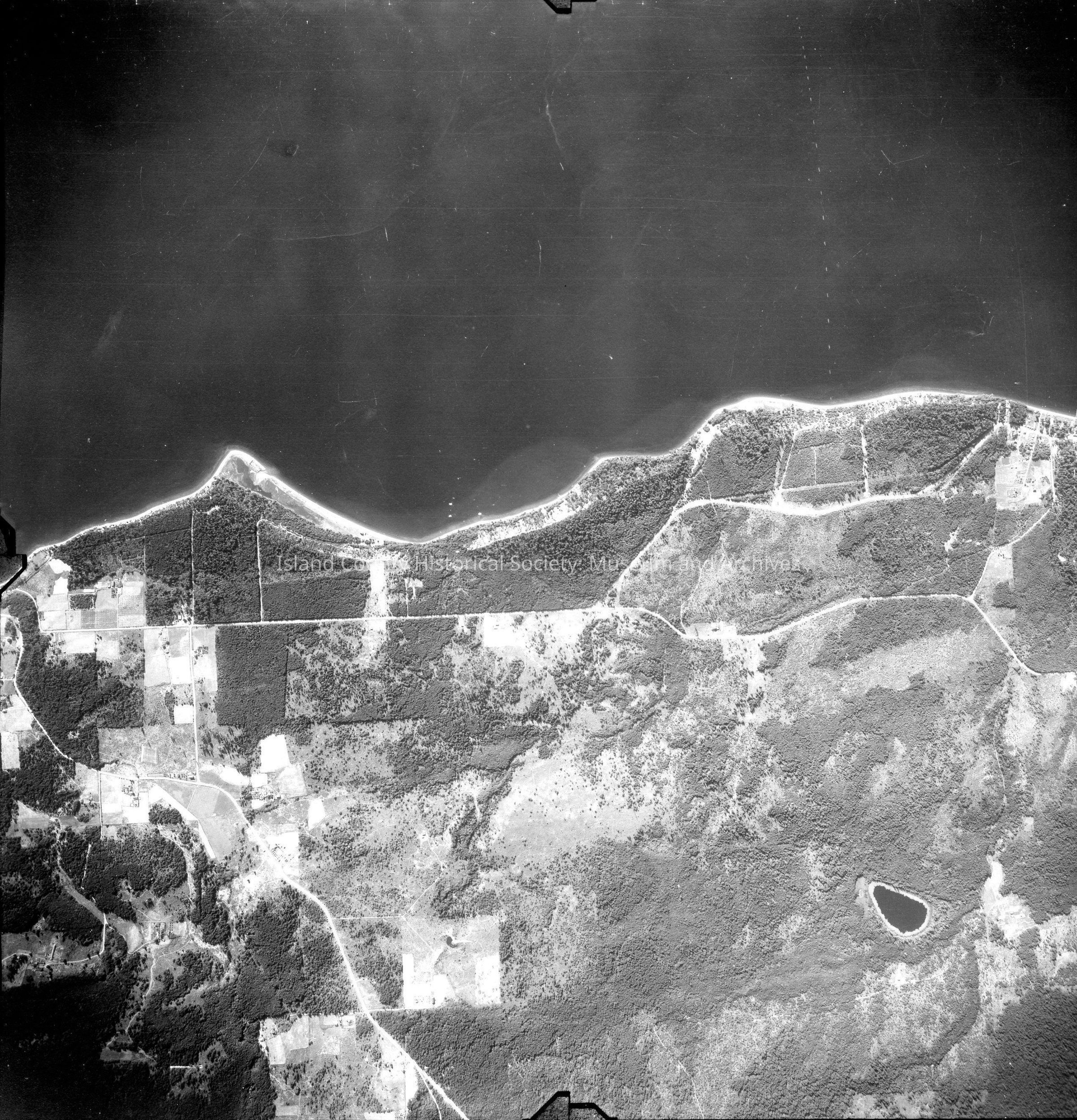
 Taken in the 1940s? 15-(E21-7) About half the image is water while the other half is land. Carp lake and Onamac Point. Main roads and farm lane. Back states "Copied Dec. 20 1950" See GIS for digital copies

Lexicon

Nomenclature 4.0

Nomenclature Secondary Object Term

Map

Nomenclature Primary Object Term

Cartograph

Nomenclature Sub-Class

Graphic Documents

Nomenclature Class

Documentary Objects

Nomenclature Category

Category 08: Communication Objects

Map Details

Area or Region

Region

Camano Island, Cascades and Plateau, Salish Sea

County

Island County

State/Province

Washington

Continent

North America

Date Published

Jun 19, 2015

Medium

Photographic Paper

Relationships

Related Publications

Notes

RG 4 Maps