Name/Title

Map

Entry/Object ID

2015.023.022a

Description

Donated by Island Conservation District Adjoins 2015.023.021 and 2015.023.023
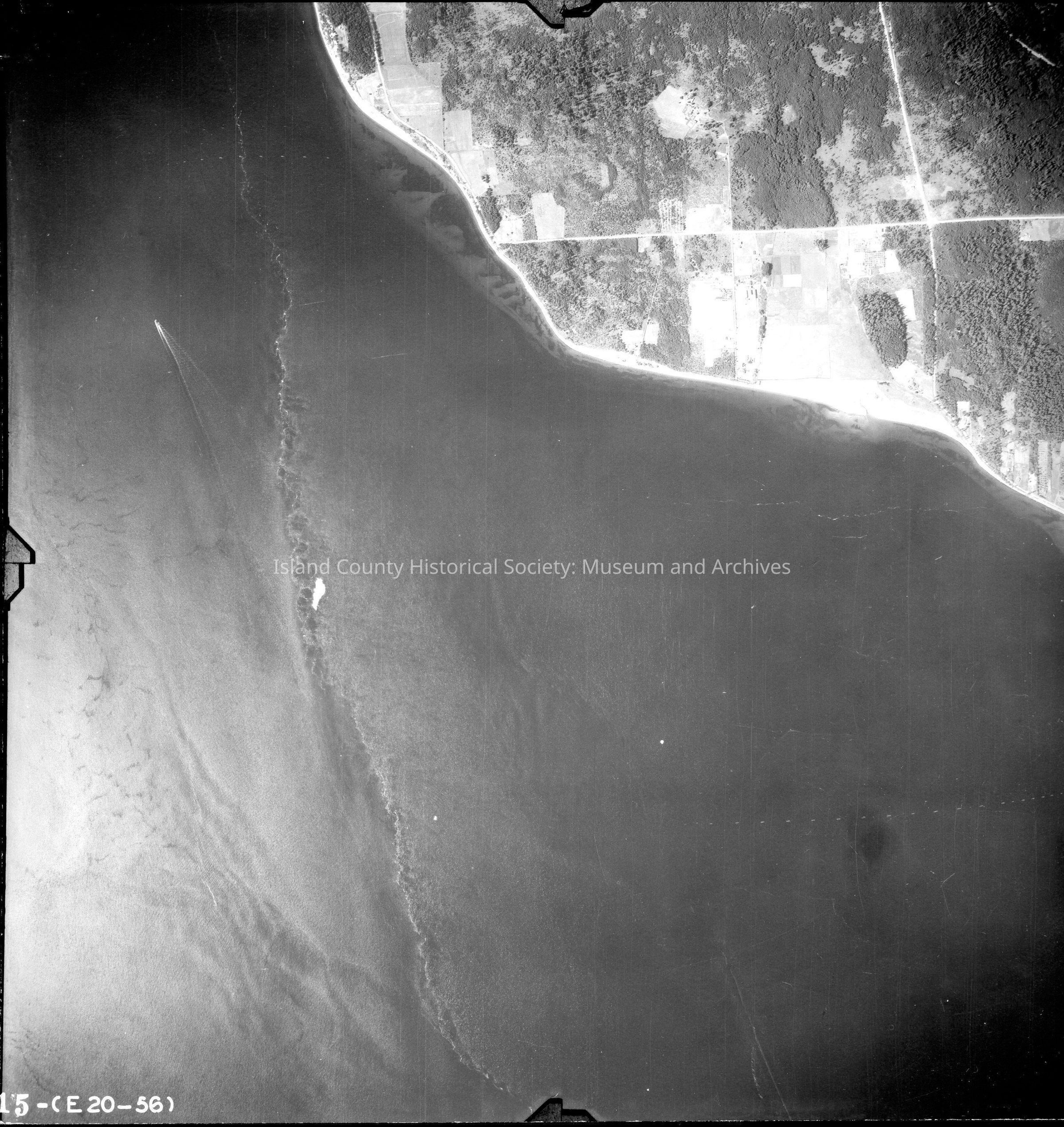
 Taken in the 1940s? 15-(E20-56) Most of the image is water, tidal lines and a boat in the picture. Northern part of Mutiny Bay (south of Bush Point). Back states "Copied Dec. 20 1950" See GIS for digital copies

Lexicon

Nomenclature 4.0

Nomenclature Secondary Object Term

Map

Nomenclature Primary Object Term

Cartograph

Nomenclature Sub-Class

Graphic Documents

Nomenclature Class

Documentary Objects

Nomenclature Category

Category 08: Communication Objects

Map Details

Area or Region

Region

Whidbey Island, Cascades and Plateau

State/Province

Washington

Continent

North America

County

Island County

Date Published

Jun 19, 2015

Medium

Photographic Paper

Relationships

Related Publications

Notes

RG 4 Maps