Name/Title

Map

Entry/Object ID

2015.023.030a

Description

Donated by Island Conservation District Adjoins 2015.023.029 and 2015.023.031
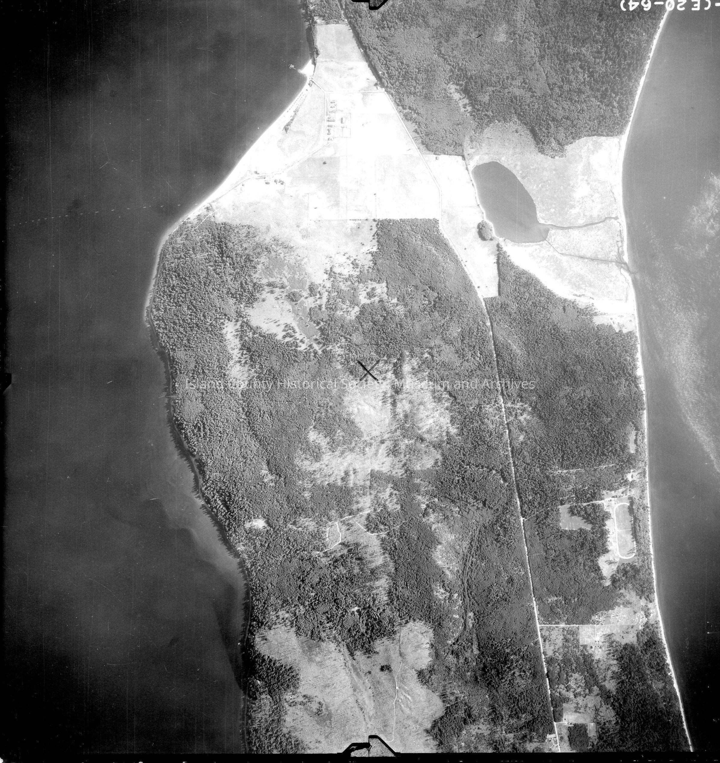
 Taken in the 1940s? 15-(E20-64) Lake Hancock, no script on photo, track can be seen. Pratts Bluff Pencil X in the center of the photo. Back states "Copied Dec. 20 1950" and a USDA Soil Conservation Service See GIS for digital copies

Lexicon

Nomenclature 4.0

Nomenclature Secondary Object Term

Map

Nomenclature Primary Object Term

Cartograph

Nomenclature Sub-Class

Graphic Documents

Nomenclature Class

Documentary Objects

Nomenclature Category

Category 08: Communication Objects

Map Details

Area or Region

Region

Whidbey Island, Cascades and Plateau

State/Province

Washington

Continent

North America

County

Island County

Date Published

Jun 19, 2015

Medium

Photographic Paper

Relationships

Related Publications

Notes

RG 4 Maps