HUB
Collections
Classifications
About
App
Map
Map
-
Island County Historical Society
Name/Title
Map
Entry/Object ID
2015.023.085b
Description
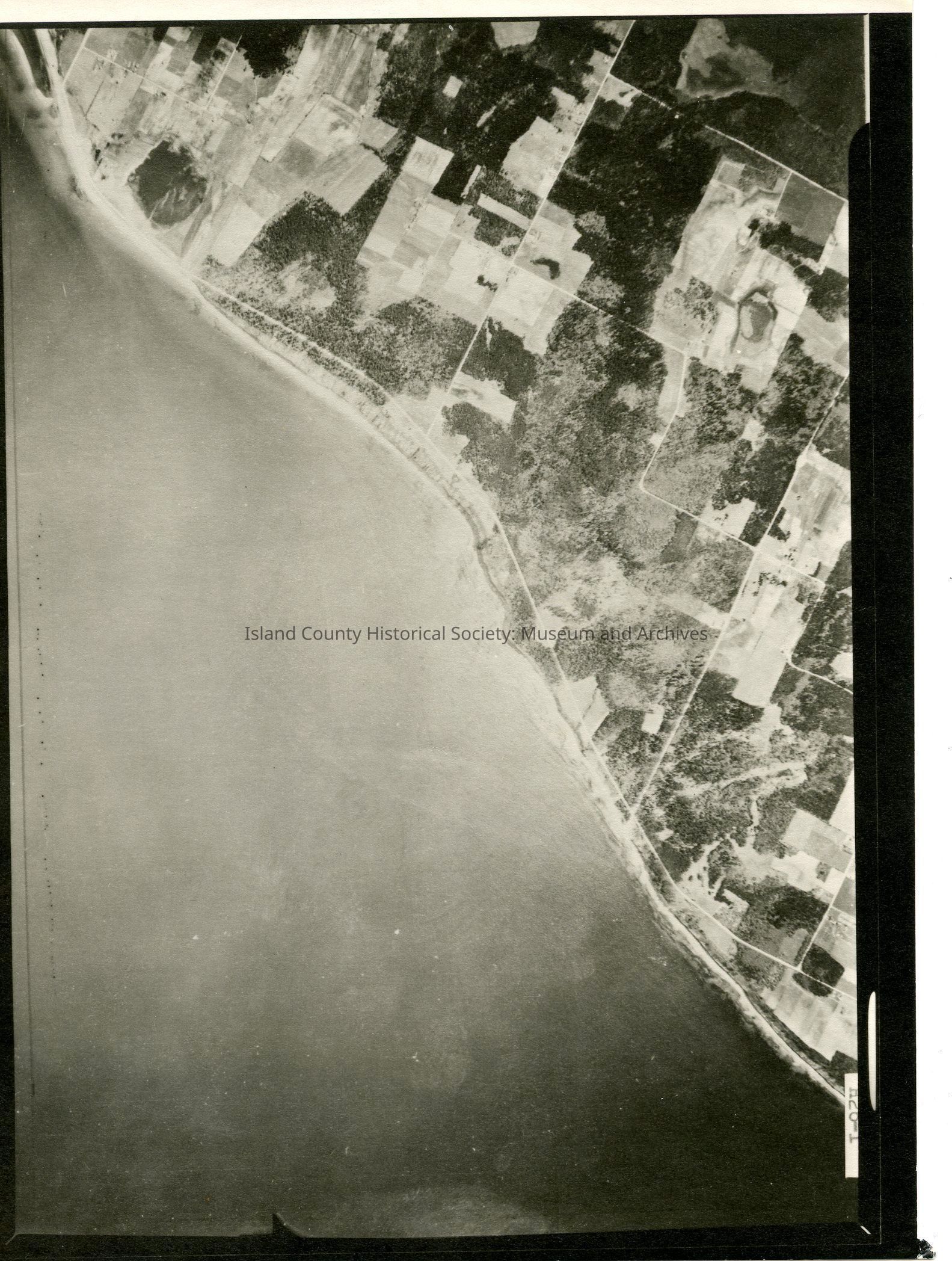
Donated by Island Conservation District Taken on 11 June 1941 29E/PARTRIDE POINT H26-1. 6""15.000. 5-2-43 Majority of photo is ocean but does contian land with roads & plots along upper left corner. See GIS for digital copies.
Lexicon
Nomenclature 4.0
Nomenclature Secondary Object Term
Map
Nomenclature Primary Object Term
Cartograph
Nomenclature Sub-Class
Graphic Documents
Nomenclature Class
Documentary Objects
Nomenclature Category
Category 08: Communication Objects
Map Details
Date Published
Jul 17, 2015
Medium
Photographic Paper
Relationships
Related Publications
Notes
RG 4 Maps