Name/Title

Map

Entry/Object ID

2015.023.086b

Description

Donated by Island Conservation District Taken on 11 June 1941 Adjoins to 2015.023.085
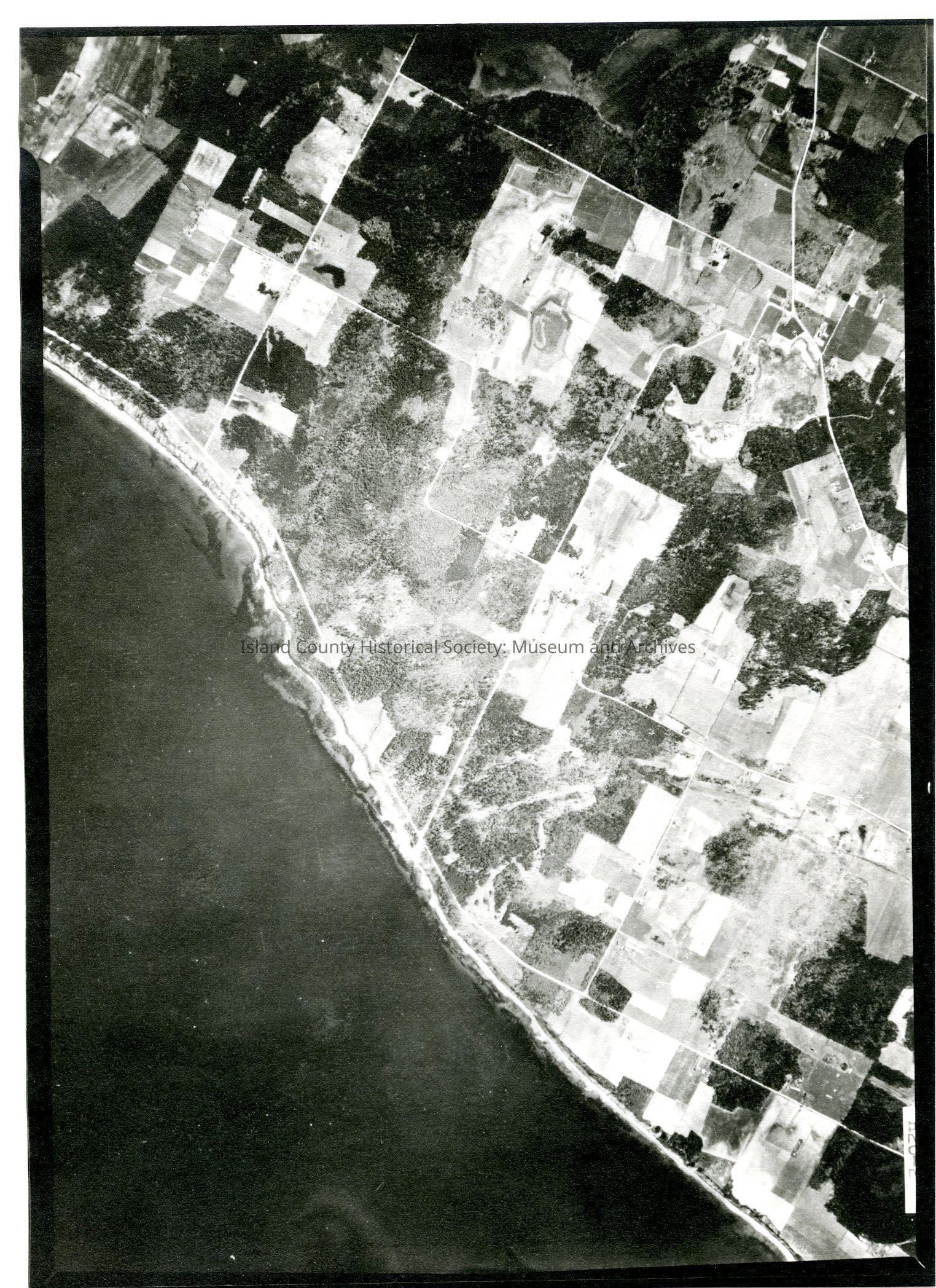
 29E/PARTRIDE POINT H26-2 Majority of photo is land showing roads & land plots but also contain ocean & shoreline across lower middle of image. See GIS for digital copies.

Lexicon

Nomenclature 4.0

Nomenclature Secondary Object Term

Map

Nomenclature Primary Object Term

Cartograph

Nomenclature Sub-Class

Graphic Documents

Nomenclature Class

Documentary Objects

Nomenclature Category

Category 08: Communication Objects

Map Details

Date Published

Jul 17, 2015

Medium

Photographic Paper

Relationships

Related Publications

Notes

RG 4 Maps