HUB
Collections
Classifications
About
App
Map
Map
-
Island County Historical Society
Name/Title
Map
Entry/Object ID
2015.023.089b
Description
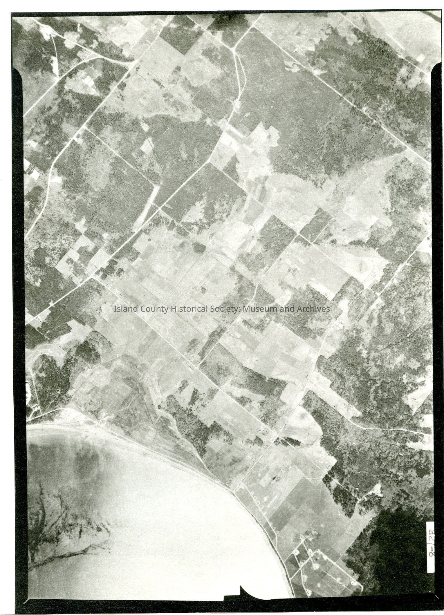
Donated by Island Conservation District Taken on 11 June 1941 Adjoins to 2015.023.088 and .090 29E/PARTRIDE POINT H27-8 View of Crescent Harbor & adjoining land including SeaPlane Navy facility. See GIS for digital copies.
Lexicon
Nomenclature 4.0
Nomenclature Secondary Object Term
Map
Nomenclature Primary Object Term
Cartograph
Nomenclature Sub-Class
Graphic Documents
Nomenclature Class
Documentary Objects
Nomenclature Category
Category 08: Communication Objects
Map Details
Area or Region
Location
Crescent Harbor
Region
Whidbey Island,
Cascades and Plateau,
Salish Sea
State/Province
Washington
Continent
North America
County
Island County
Date Published
Jul 17, 2015
Medium
Photographic Paper
Relationships
Related Publications
Notes
RG 4 Maps