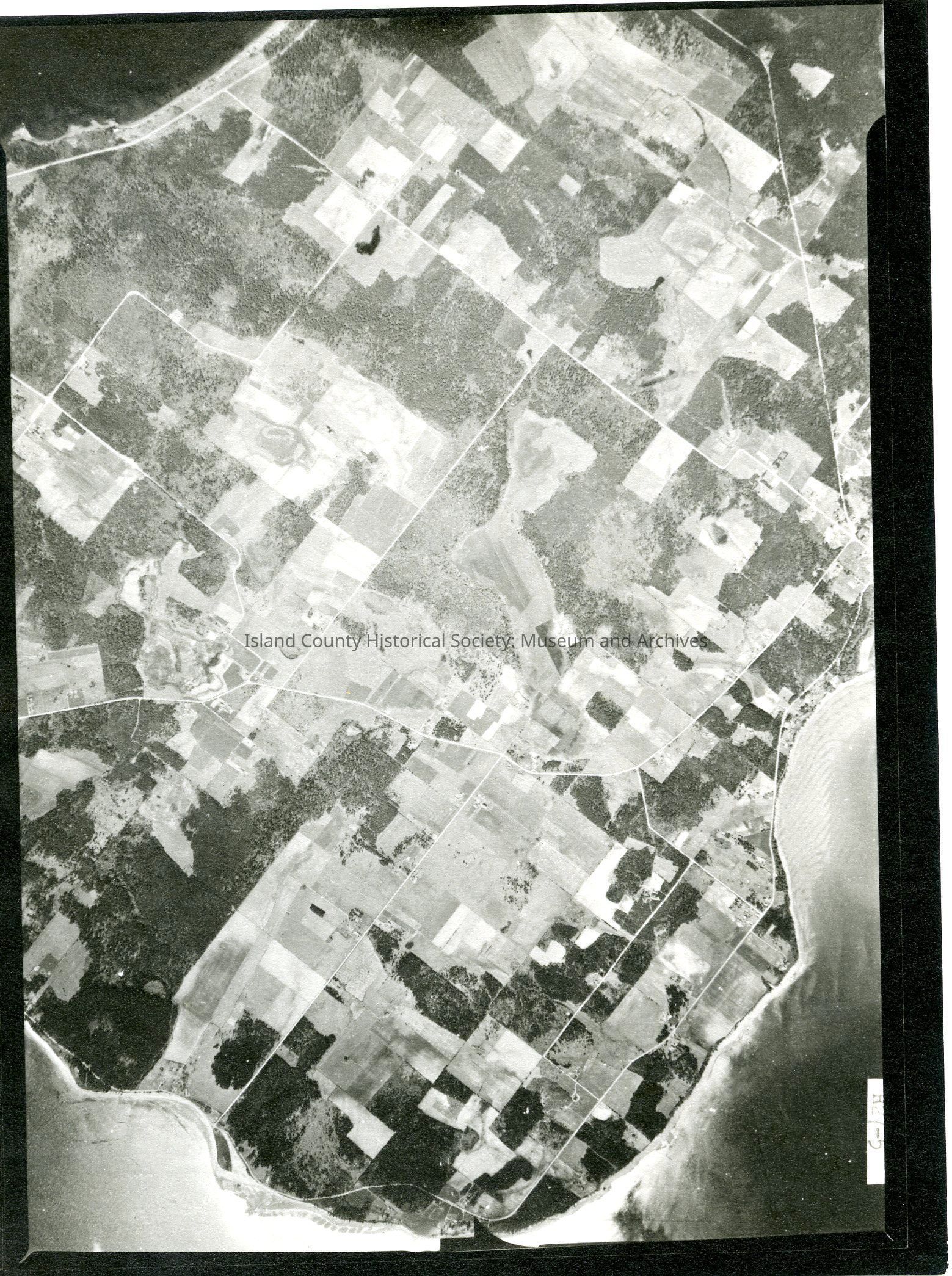
Donated by Island Conservation District
Taken on 11 June 1941
Adjoins to 2015.023.090 and .092
29E/PARTRIDE POINT
H27-5
View of land south of city of Oak Harbor which is just off the image to the top. Also visible is a section of Maylors Point in top left.
See GIS for digital copies.