Donated by Island Conservation District
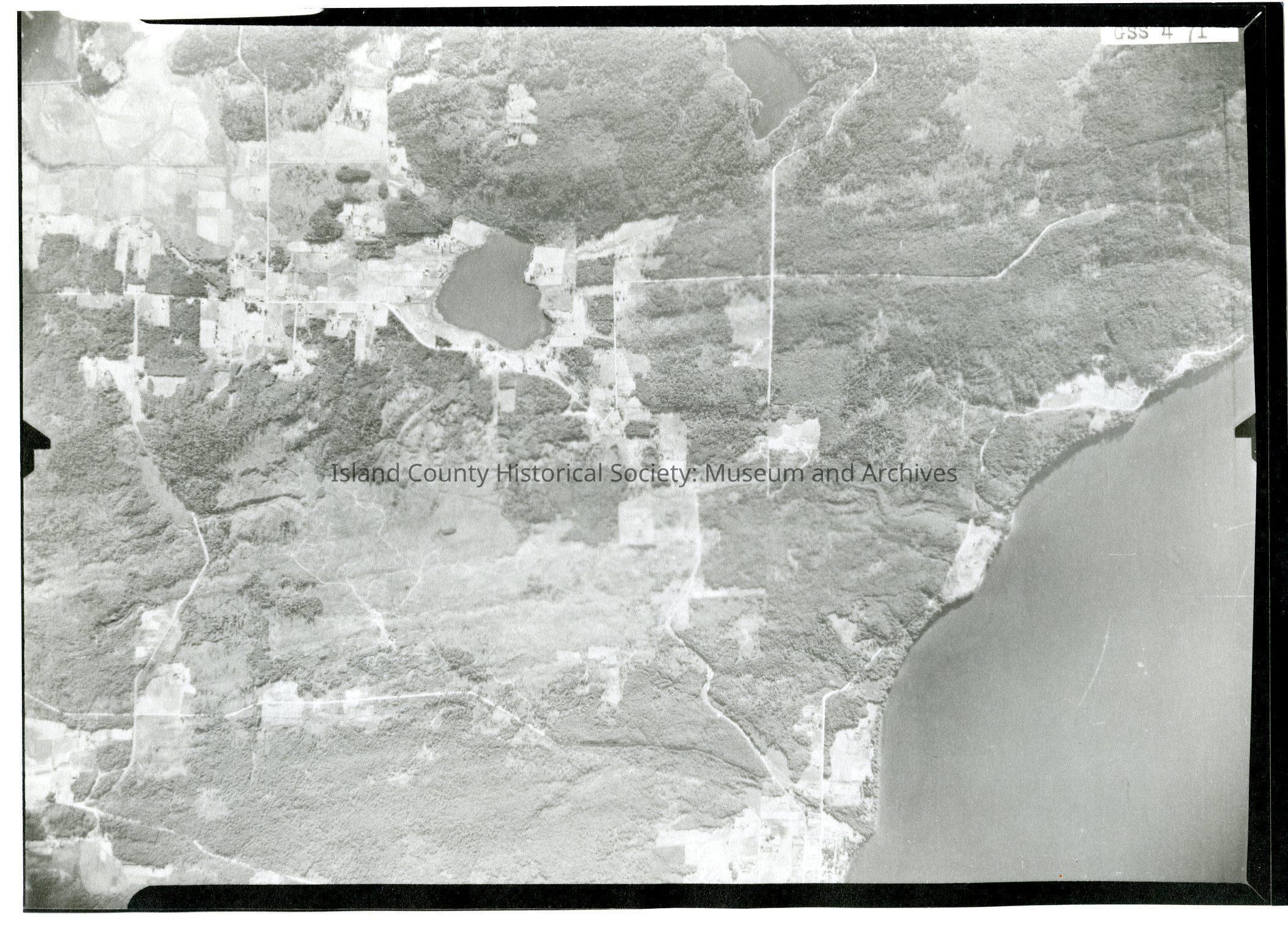
Taken on 11 June 1941
7-9-41
GS S 4 70
Image of Freeland and Honeymoon Bay on upper half of image and surrounding land below.
Slightly different from 2015.023.113a and .113b - slightly further south.
See GIS for digital copies.