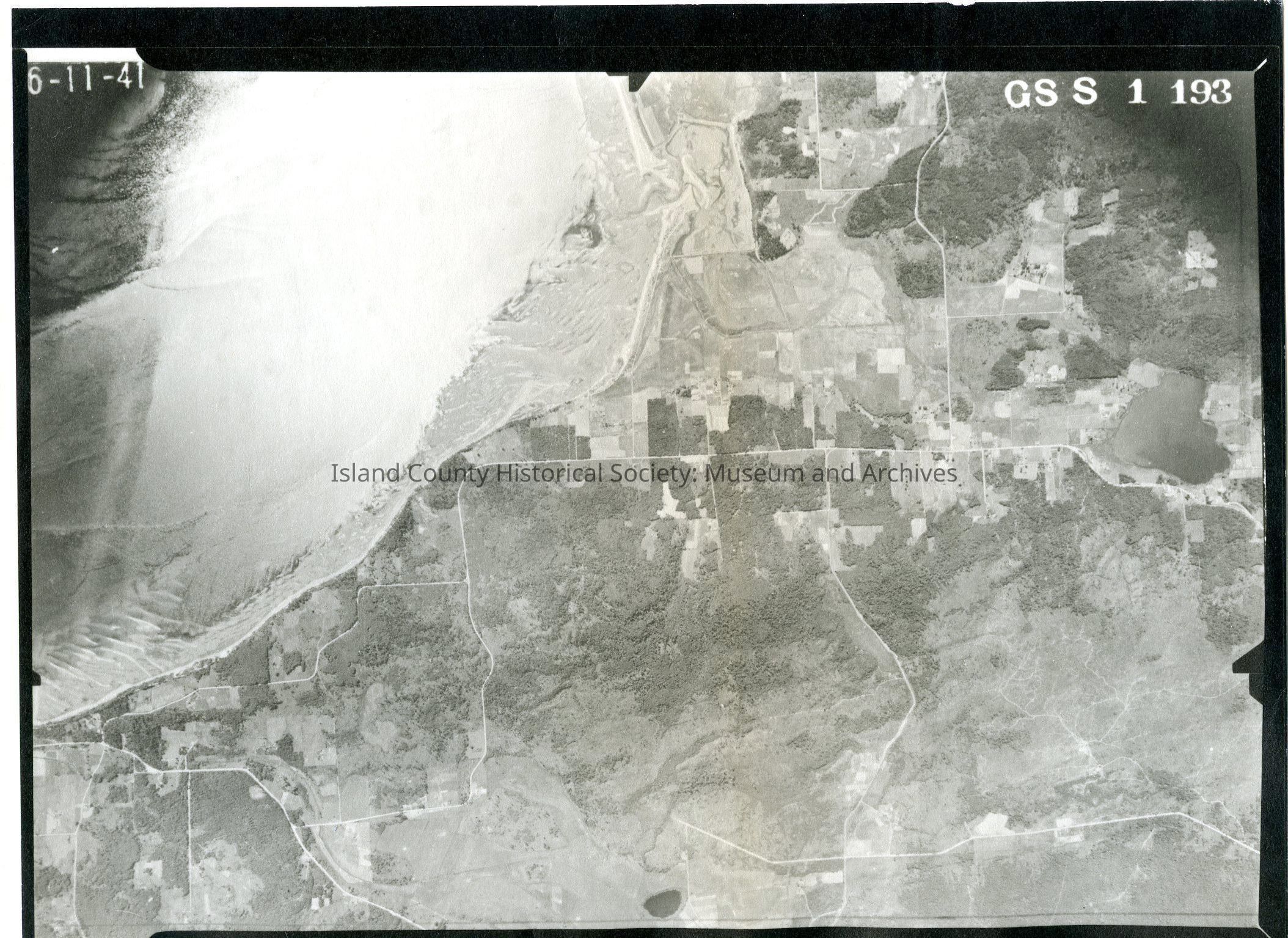
Donated by Island Conservation District
Taken on 11 June 1941
Adjoins 2015.023.130
GSS 1 193
Useless Bay and surrounding land. Freeland is in the top right corner, and Lone Lake is pictured bottom right.
Connects to 2015.023.131c and .131d - these complete imaging of the southern end of Whidbey.
See GIS for digital copies.