Name/Title

Map

Entry/Object ID

2015.023.003b

Description

Donated by Island Conservation District Adjoins 2015.023.002 and 2015.023.004
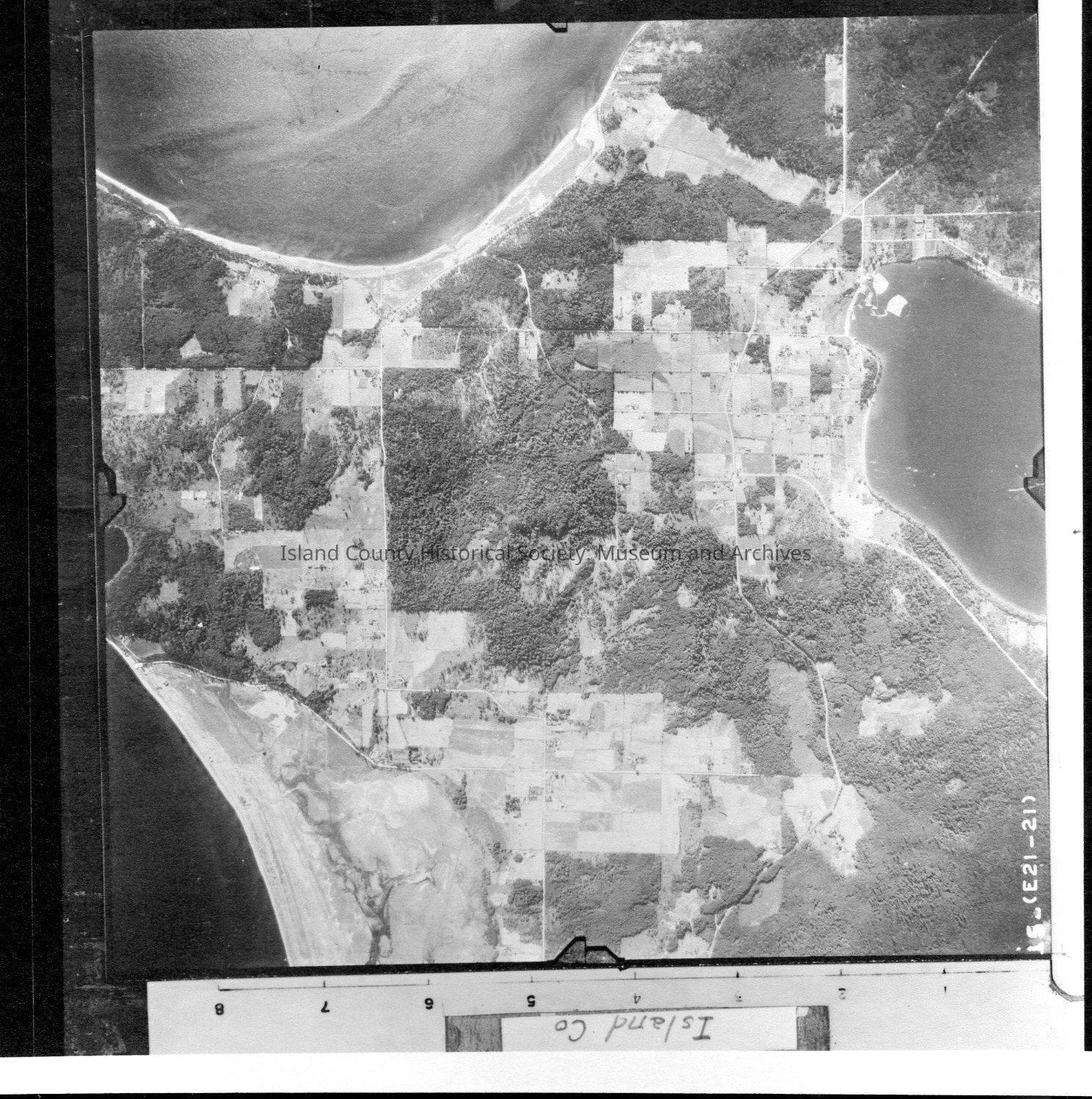
 Taken in the 1940s? 15-(E21-21)) The end of Holmes harbor with a number of docks or objects in the water. The number is upsidedown and should be on the northern edge Freeland Label: Island Co. See GIS for digital copies

Lexicon

Nomenclature 4.0

Nomenclature Secondary Object Term

Map

Nomenclature Primary Object Term

Cartograph

Nomenclature Sub-Class

Graphic Documents

Nomenclature Class

Documentary Objects

Nomenclature Category

Category 08: Communication Objects

Map Details

Area or Region

Region

Whidbey Island, Cascades and Plateau

State/Province

Washington

Continent

North America

County

Island County

Date Published

Jul 17, 2015

Medium

Photographic Paper

Relationships

Related Publications

Notes

RG 4 Maps