Donated by Island Conservation District
Adjoins 2015.023.006 and 2015.023.008
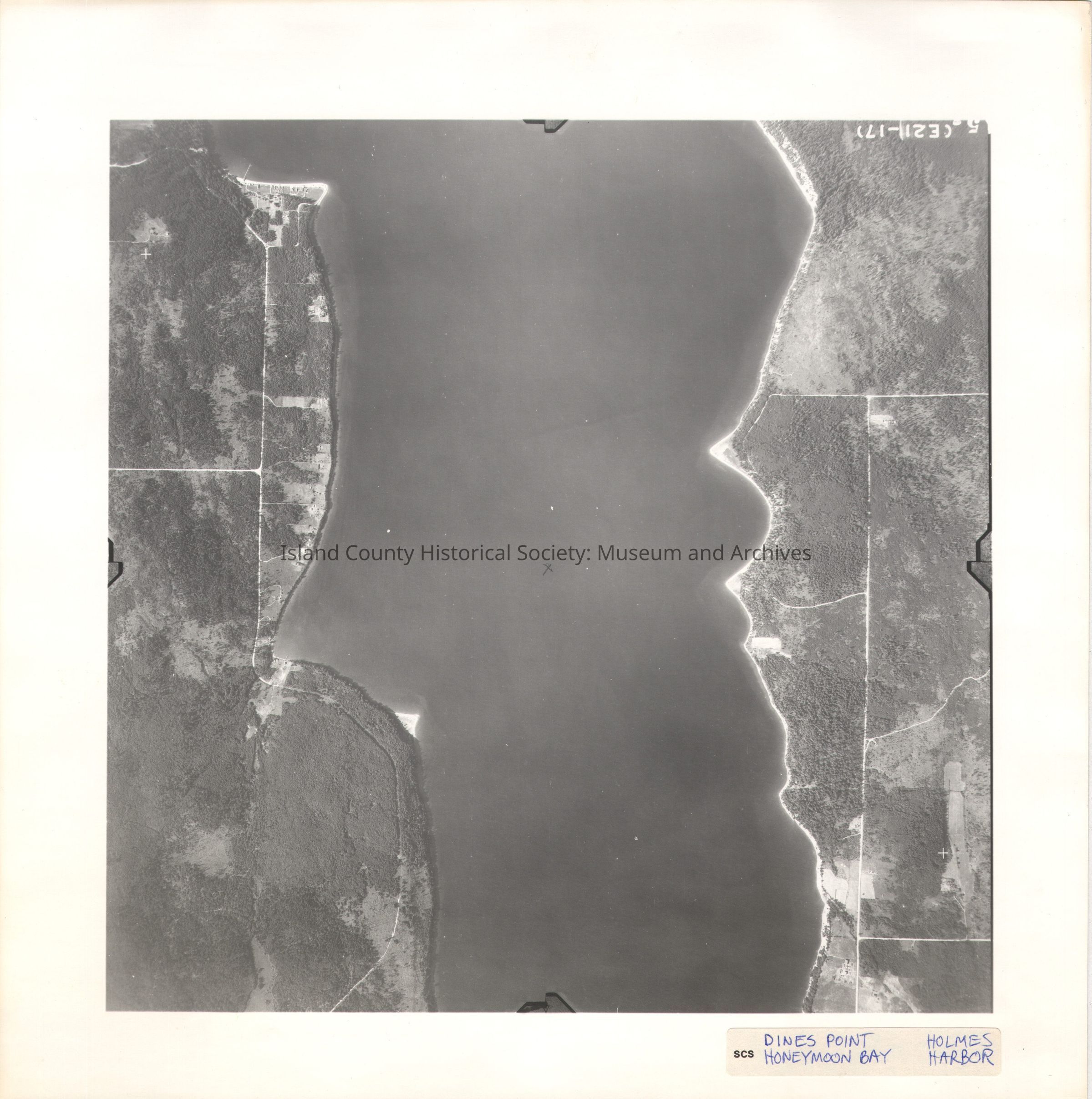
Taken in the 1940s?
15-(E21-17)
Holmes harbor runs north and south through the center of the image.
label in ink: Dines Point Honeymoon Bay Holmes Harbor
See GIS for digital copies