HUB
Collections
Classifications
About
App
Map
Map
-
Island County Historical Society
Name/Title
Map
Entry/Object ID
2015.023.009b
Description
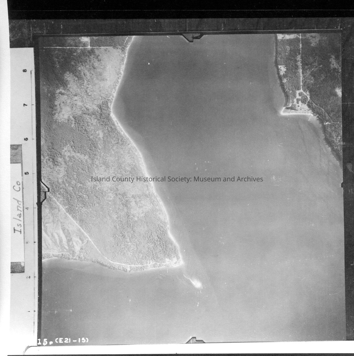
Donated by Island Conservation District Adjoins 2015.023.008 and 2015.023.010 Taken in the 1940s? 15-(E21-15) The mouth of Holmes harbor and Baby Island. Water makes up most of the image. Label: Island Co See GIS for digital copies
Lexicon
Nomenclature 4.0
Nomenclature Secondary Object Term
Map
Nomenclature Primary Object Term
Cartograph
Nomenclature Sub-Class
Graphic Documents
Nomenclature Class
Documentary Objects
Nomenclature Category
Category 08: Communication Objects
Map Details
Area or Region
Region
Whidbey Island,
Cascades and Plateau
State/Province
Washington
Continent
North America
County
Island County
Date Published
Jul 22, 2015
Medium
Photographic Paper
Relationships
Related Publications
Notes
RG 4 Maps