Name/Title

Map

Entry/Object ID

2015.023.011b

Description

Donated by Island Conservation District Adjoins 2015.023.010 and 2015.023.012 Taken in the 1940s? 15-(E21-13) 
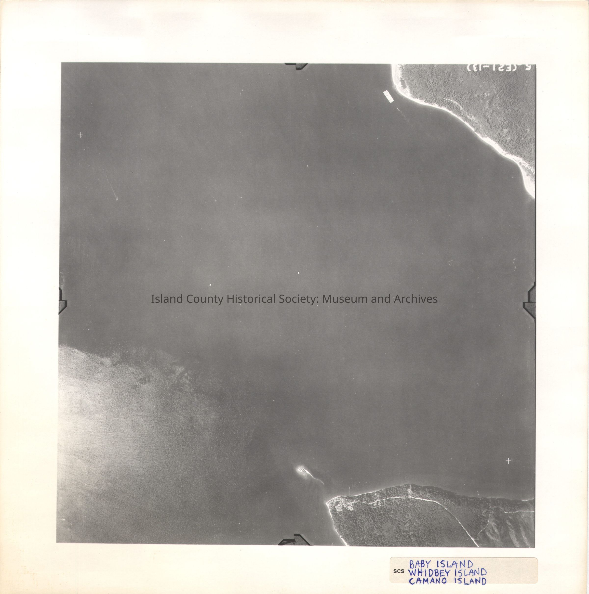
The eastern point of Holmes Harbor and Baby Island. Water makes up most of the image. Land is in the south east corner. In the Norhteast corner a portion of Camano Island is seen. Label in ink: Baby Island Whidbey Island Camano Island See GIS for digital copies

Lexicon

Nomenclature 4.0

Nomenclature Secondary Object Term

Map

Nomenclature Primary Object Term

Cartograph

Nomenclature Sub-Class

Graphic Documents

Nomenclature Class

Documentary Objects

Nomenclature Category

Category 08: Communication Objects

Map Details

Area or Region

Region

Whidbey Island, Cascades and Plateau

State/Province

Washington

Continent

North America

County

Island County

Date Published

Jul 22, 2015

Medium

Photographic Paper

Relationships

Related Publications

Notes

RG 4 Maps