Donated by Island Conservation District
Adjoins 2015.023.020 and 2015.023.022
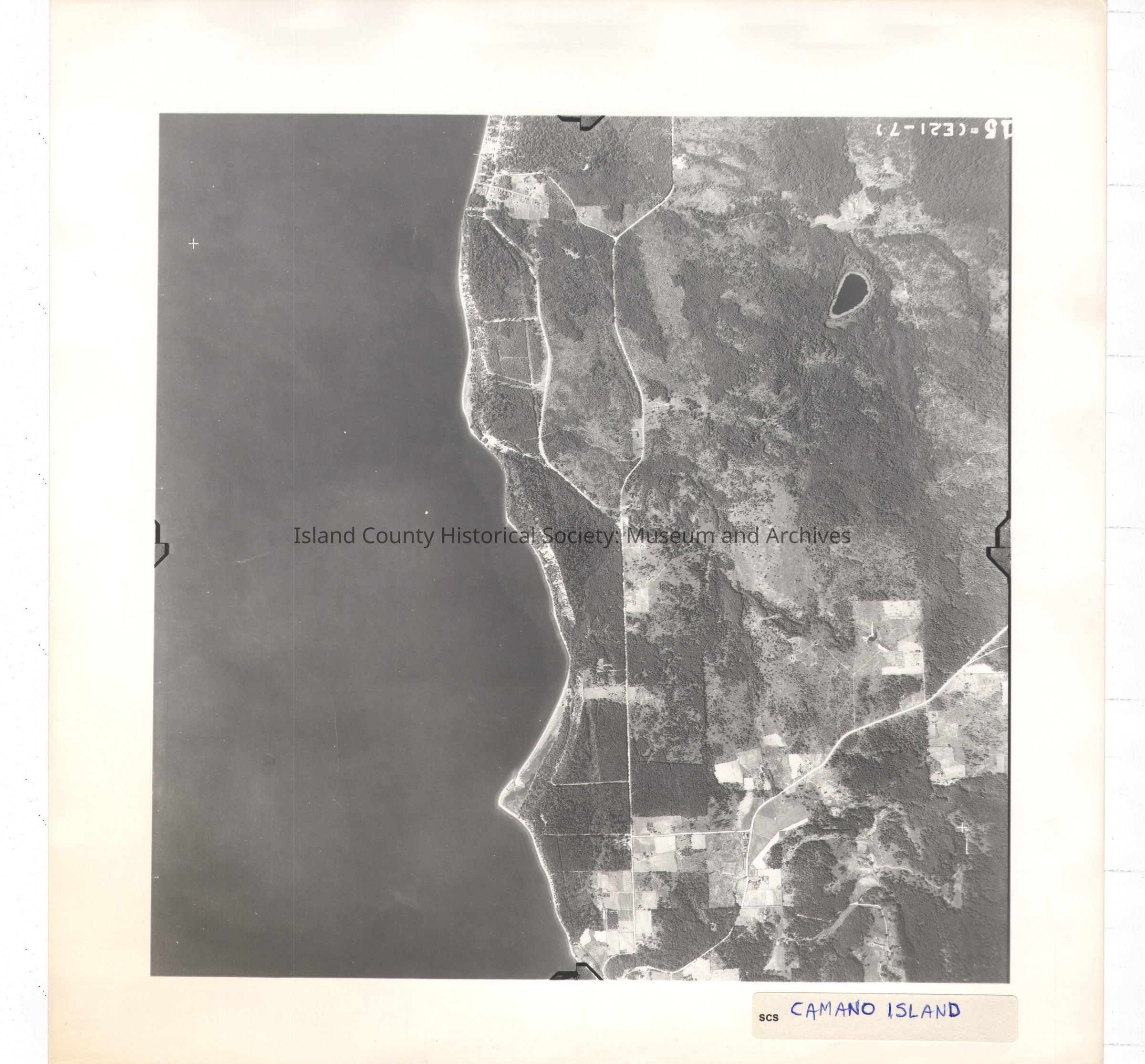
Taken in the 1940s?
15-(E21-7)
About half the image is water while the other half is land. Carp lake and Onamac Point. Main roads and farm lane.
Label in ink: Camano Island
See GIS for digital copies