Name/Title

Map

Entry/Object ID

2015.023.022d

Description

Donated by Island Conservation District Adjoins 2015.023.021, 2015.023.022 and 2015.023.023 Taken in the 1940s? 15-(E20-55) 
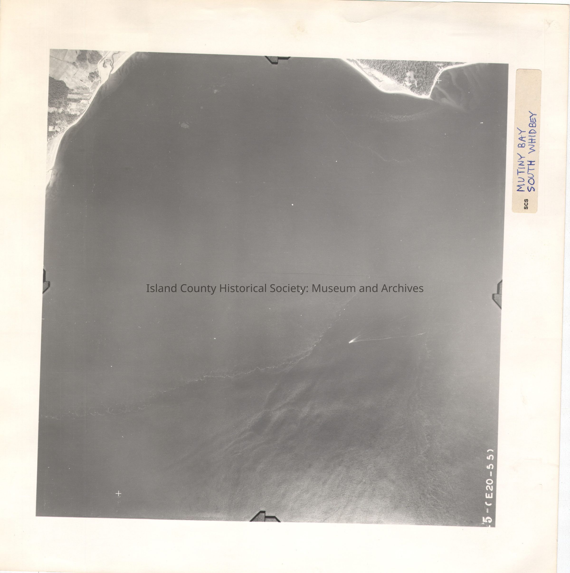
Most of the image is water, tidal lines and a boat in the picture. Central part of Mutiny Bay. Siglhty south from 2015.023.022a, .022b and .022c. Label in ink: Mutiny Bay South Whidbey See GIS for digital copies

Lexicon

Nomenclature 4.0

Nomenclature Secondary Object Term

Map

Nomenclature Primary Object Term

Cartograph

Nomenclature Sub-Class

Graphic Documents

Nomenclature Class

Documentary Objects

Nomenclature Category

Category 08: Communication Objects

Map Details

Area or Region

Region

Whidbey Island, Cascades and Plateau

State/Province

Washington

Continent

North America

County

Island County

Date Published

Jul 22, 2015

Medium

Photographic Paper

Relationships

Related Publications

Notes

RG 4 Maps