Name/Title

Map

Entry/Object ID

2015.023.079a

Description

Donated by Island Conservation District 
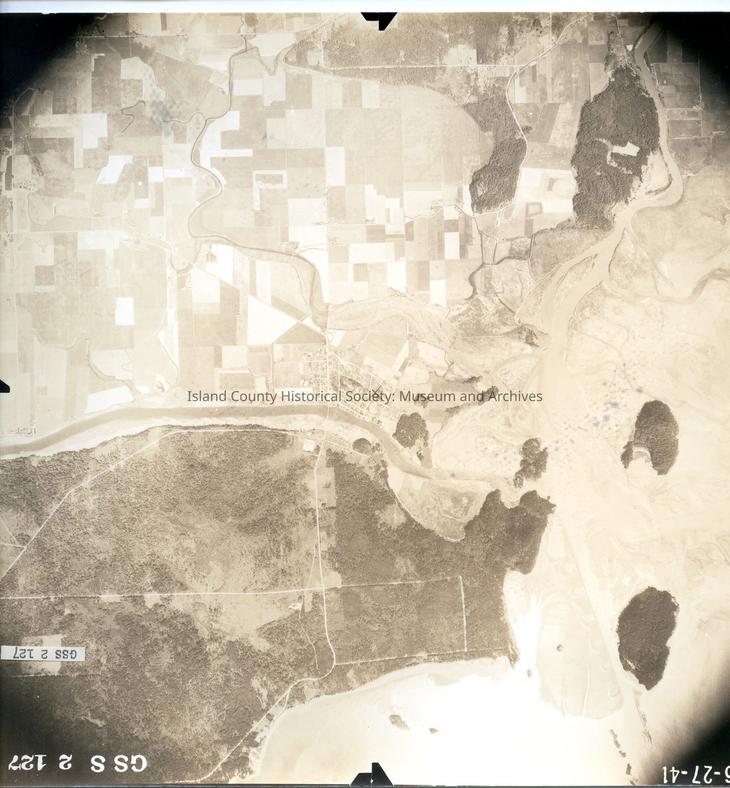
Taken on 27 June 1941 Adjoins 2015.023.077 and 2015.023.079 GSS 2 127 Swinomish Channel running horizontally at middle with La Conner and surrounding farmland below. Skagit River at bottom left. Pencil x in the center. See GIS for digital copies.

Lexicon

Nomenclature 4.0

Nomenclature Secondary Object Term

Map

Nomenclature Primary Object Term

Cartograph

Nomenclature Sub-Class

Graphic Documents

Nomenclature Class

Documentary Objects

Nomenclature Category

Category 08: Communication Objects

Map Details

Area or Region

City

La Conner, Washington

State/Province

Washington

Region

Cascades and Plateau

Continent

North America

Date Published

Jul 22, 2015

Medium

Photographic Paper

Relationships

Related Publications

Notes

RG 4 Maps