Name/Title

Map

Entry/Object ID

2015.023.048c

Description

Donated by Island Conservation District Taken in 1940s? Adjoins 2015.023.047 and 2015.023.049
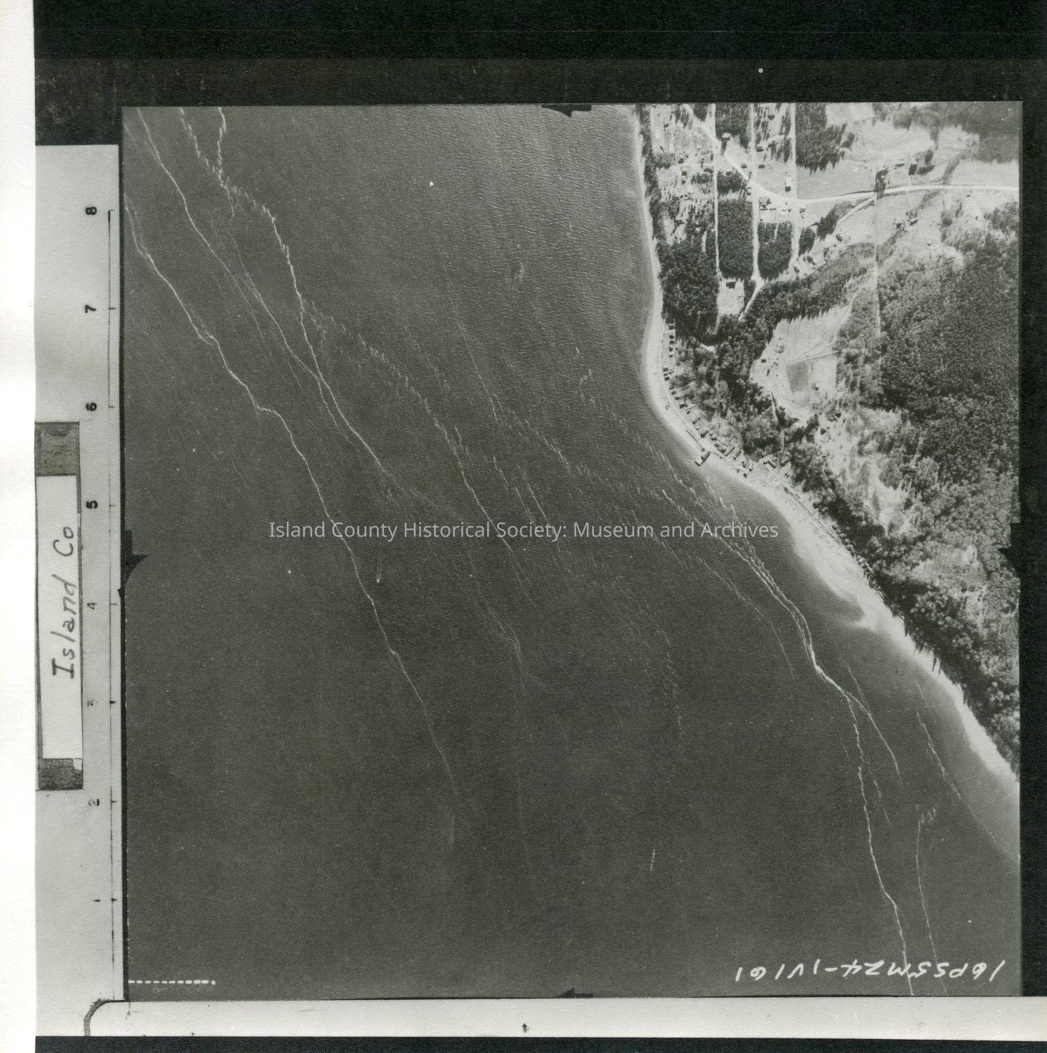
 16P55M24-IV161 SE shore of Whidbey Island north of Clinton. Possibly Clinton. Almost half of photo is water with the W side as land. A road runs N to S parallel to the coast. Slightly different view than 2015.023.048a and .048b. Label: Island Co See GIS for digital copies.

Lexicon

Nomenclature 4.0

Nomenclature Secondary Object Term

Map

Nomenclature Primary Object Term

Cartograph

Nomenclature Sub-Class

Graphic Documents

Nomenclature Class

Documentary Objects

Nomenclature Category

Category 08: Communication Objects

Map Details

Area or Region

Region

Whidbey Island, Cascades and Plateau

State/Province

Washington

Continent

North America

County

Island County

Date Published

Jul 22, 2015

Medium

Photographic Paper

Relationships

Related Publications

Notes

RG 4 Maps