Name/Title

Map

Entry/Object ID

2015.023.053b

Description

Donated by Island Conservation District Taken in 1940s? Adjoins 2015.023.052 and 2015.023.054 
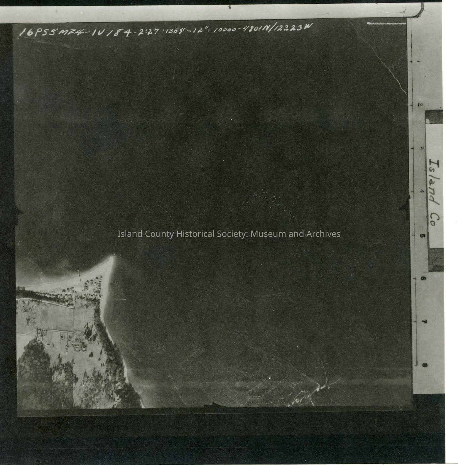
16P55M24-IV184 2:27:1354-12":10000-4801N/12223W Shore of Whidbey Island, Sandy Point. Land is on the southwestern corner of the photo. Small portion of main road can be seen. Label: Island Co See GIS for digital copies.

Lexicon

Nomenclature 4.0

Nomenclature Secondary Object Term

Map

Nomenclature Primary Object Term

Cartograph

Nomenclature Sub-Class

Graphic Documents

Nomenclature Class

Documentary Objects

Nomenclature Category

Category 08: Communication Objects

Map Details

Area or Region

Region

Whidbey Island, Cascades and Plateau

State/Province

Washington

Continent

North America

County

Island County

Date Published

Jul 22, 2015

Medium

Photographic Paper

Relationships

Related Publications

Notes

RG 4 Maps