Name/Title

Map

Entry/Object ID

2015.023.060b

Description

Donated by Island Conservation District Taken in 1940s? Adjoins 2015.023.059 and 2015.023.061 16P55M24-IV194 
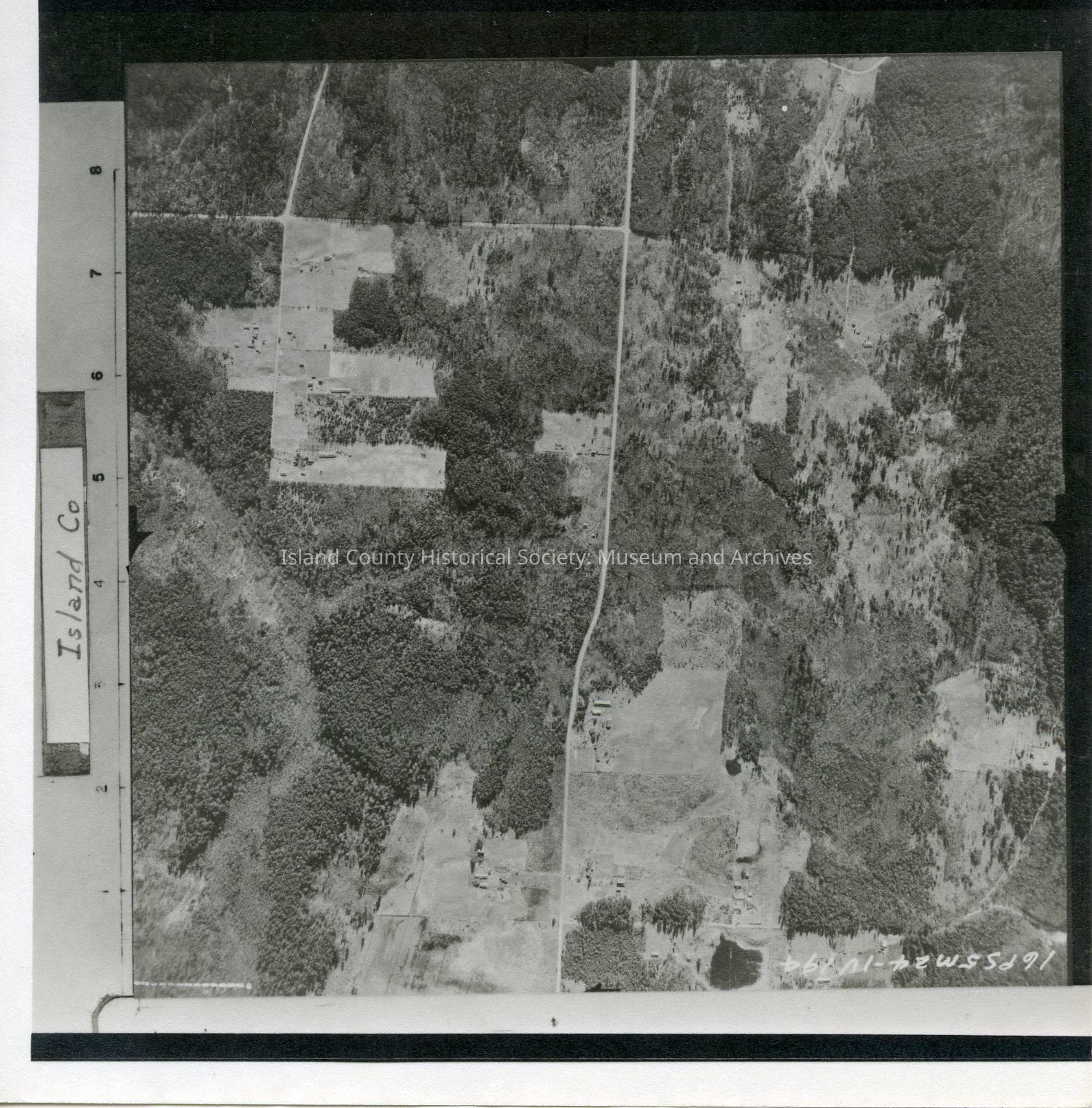
Farmland of South Whidbey Island. Nearly straight road runs north to south through the center Label: Island Co See GIS for digital copies. Mistake was made in numbering, 2015.023.063 and 2015.0023.064 match this point in the coastline.

Lexicon

Nomenclature 4.0

Nomenclature Secondary Object Term

Map

Nomenclature Primary Object Term

Cartograph

Nomenclature Sub-Class

Graphic Documents

Nomenclature Class

Documentary Objects

Nomenclature Category

Category 08: Communication Objects

Map Details

Area or Region

Region

Whidbey Island, Cascades and Plateau

State/Province

Washington

Continent

North America

County

Island County

Date Published

Jul 22, 2015

Medium

Photographic Paper

Relationships

Related Publications

Notes

RG 4 Maps