Name/Title

Map

Entry/Object ID

2017.028.009

Scope and Content

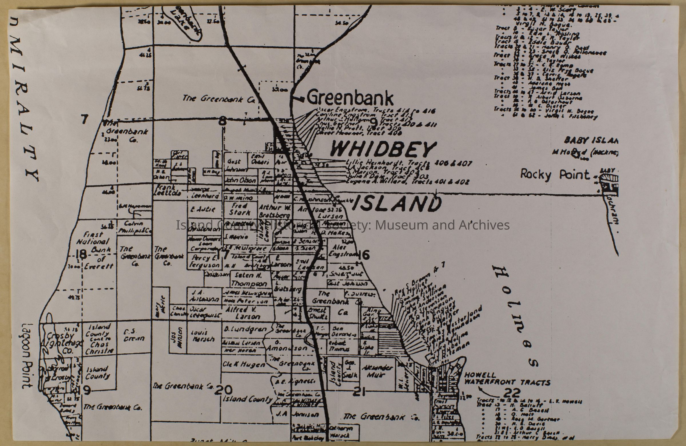
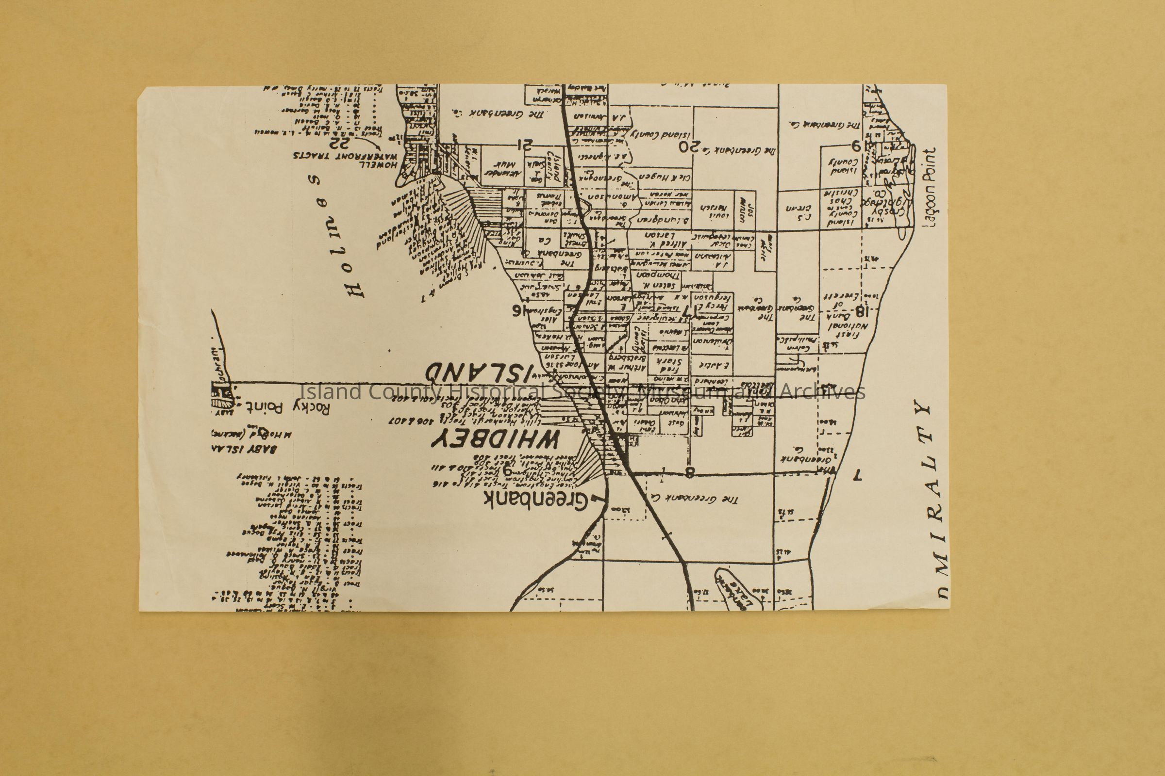
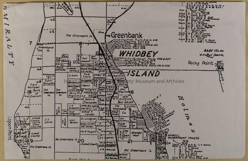
Map of Whidby Island and Greenbank, T. 30 N.R. 2 E.,even more of a closeup than 2017.028.008. Photocopy of original map. Blown up part of original map as seen on 2017.028.005. Spans Greenbank Lake to Greenbank Co. land plots, from Lagoon Point to Rocky Point. Shows land claims and owners in that area.

Lexicon

Nomenclature 4.0

Nomenclature Secondary Object Term

Map

Nomenclature Primary Object Term

Cartograph

Nomenclature Sub-Class

Graphic Documents

Nomenclature Class

Documentary Objects

Nomenclature Category

Category 08: Communication Objects

Archive Details

Archive Size/Extent

11"x17"

Relationships

Related Entries

Notes

2017.028.005, 2017.028.006, 2017.028.007, 2017.028.008