Name/Title

Map

Entry/Object ID

2015.023.383b

Description

Donated by Island Conservation Adjacent to 2015.023.382 and 2015.023.384 
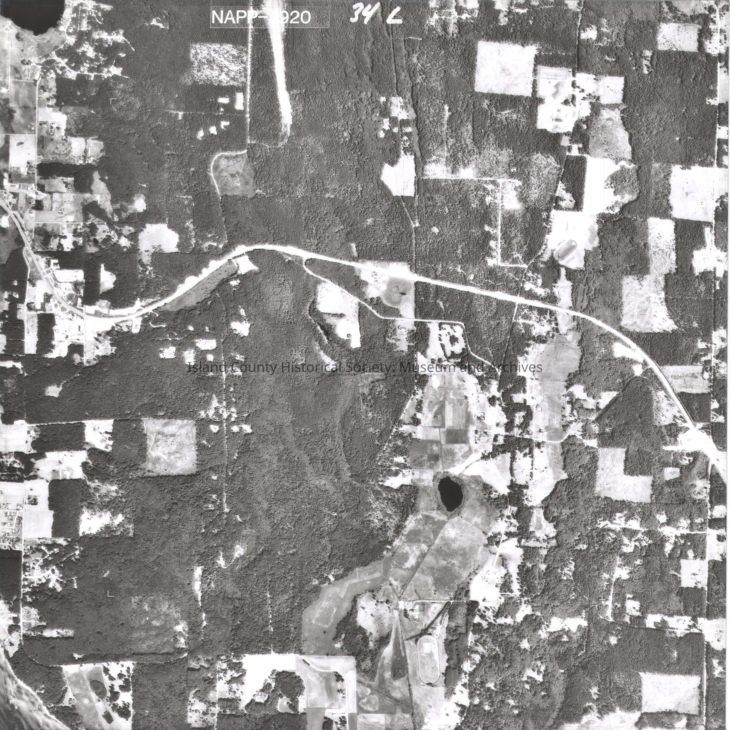
Photos taken in 1990. NAPP-1920 34L Miller Lake On back in pencil is a small rectangle in the center. On tape: "9 Skip Demuth Sec 16, T29N, R3E USDA-SCS Coupeville, WA. In top right corner is N with arrow See GIS for digital copies. Most of the NAPP photos are labeled L and R (left and right) with the same number. Some are only L or R. The R photos are a and L photos are b.

Lexicon

Nomenclature 4.0

Nomenclature Secondary Object Term

Map

Nomenclature Primary Object Term

Cartograph

Nomenclature Sub-Class

Graphic Documents

Nomenclature Class

Documentary Objects

Nomenclature Category

Category 08: Communication Objects

Map Details

Area or Region

Region

Whidbey Island, Cascades and Plateau

State/Province

Washington

Continent

North America

County

Island County

Date Published

Jul 29, 2015

Medium

Photographic Paper

Relationships

Related Publications

Notes

RG 4 Maps