Name/Title
MapEntry/Object ID
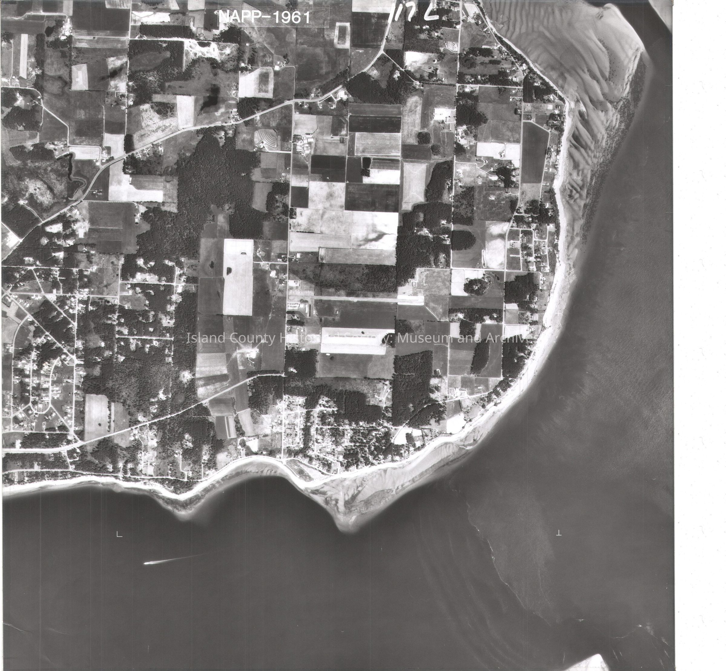
2015.023.405bDescription
Donated by Island Conservation
Adjacent to 2015.023.404 and 2015.023.406
Photos taken in 1990.
NAPP-1961 117L
Scenic Heights
on back: in pencil two shapes, N with arrow, on tape: "4 Ron Muzzall Sec 22, T32N, R1E USDA-SCS Coupeville WA""5 Jerry VandeWerFhorst Sec 21, T32N, R1E USDA-SCS Coupeville WA"
See GIS for digital copies.
Most of the NAPP photos are labeled L and R (left and right) with the same number. Some are only L or R. The R photos are a and L photos are b.Lexicon
Nomenclature 4.0
Nomenclature Secondary Object Term
MapNomenclature Primary Object Term
CartographNomenclature Sub-Class
Graphic DocumentsNomenclature Class
Documentary ObjectsNomenclature Category
Category 08: Communication ObjectsMap Details
Area or Region
Region
Whidbey Island, Cascades and PlateauState/Province
WashingtonContinent
North AmericaCounty
Island CountyDate Published
Jul 29, 2015Medium
Photographic Paper