Name/Title
MapEntry/Object ID
2015.023.411aDescription
Donated by Island Conservation
Adjacent to 2015.023.410
Photos taken in 1990.
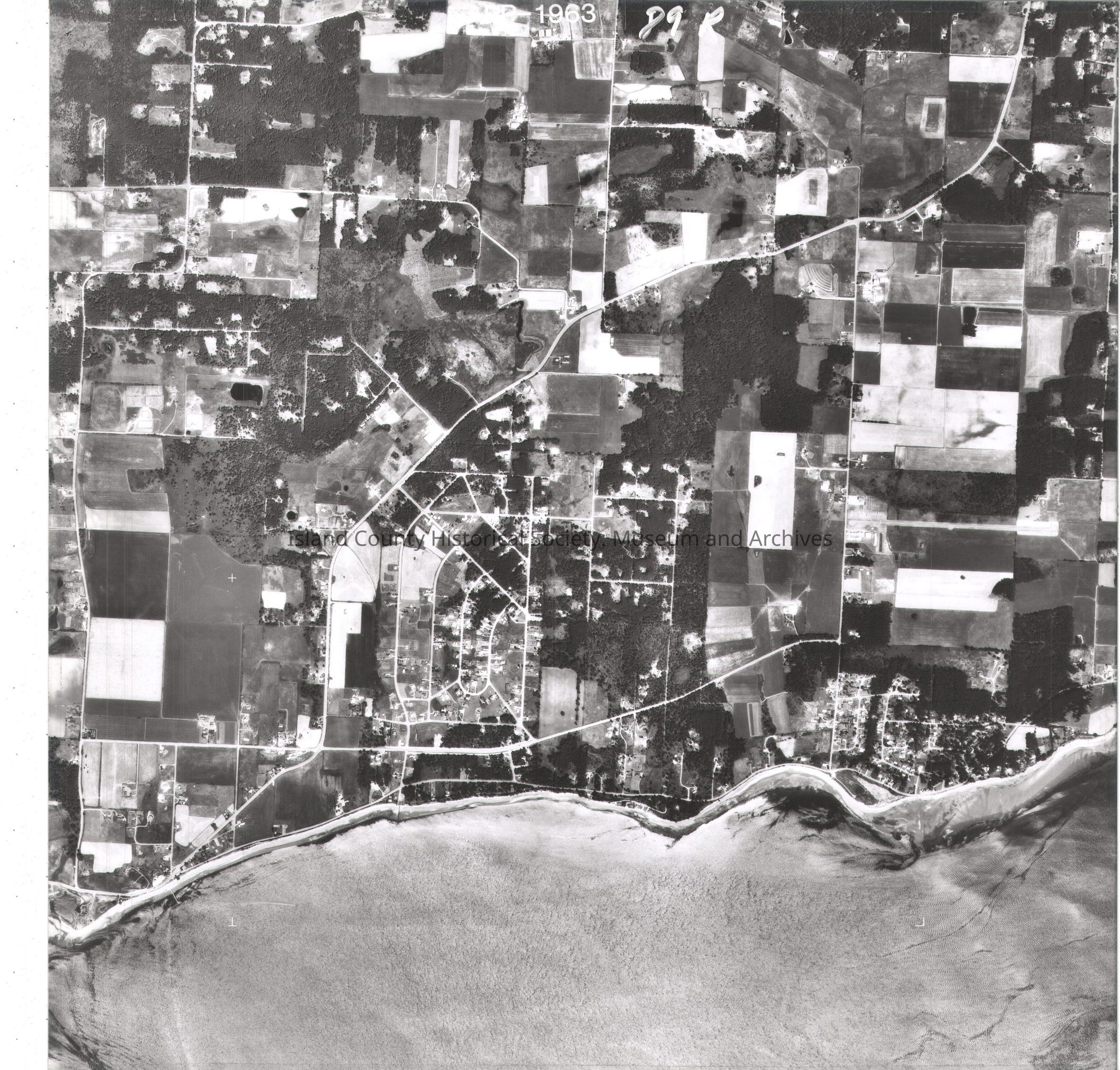
NAPP-1963 89R
San de Fuca
On back in pencil: two shpaes, N with arrow and on tape:
6 Cornie Vander Voot Sec 15, T32N, R1E USDA-SCS Coupeville WA"and "7 Frank VendeWerFhorst Sec 21 & 16, T32N, R1E USDA-SCS Coupeville WA"
See GIS for digital copies.
Most of the NAPP photos are labeled L and R (left and right) with the same number. Some are only L or R. The R photos are a and L photos are b.Lexicon
Nomenclature 4.0
Nomenclature Secondary Object Term
MapNomenclature Primary Object Term
CartographNomenclature Sub-Class
Graphic DocumentsNomenclature Class
Documentary ObjectsNomenclature Category
Category 08: Communication ObjectsMap Details
Area or Region
Region
Whidbey Island, Cascades and PlateauState/Province
WashingtonContinent
North AmericaCounty
Island CountyDate Published
Jul 29, 2015Medium
Photographic Paper