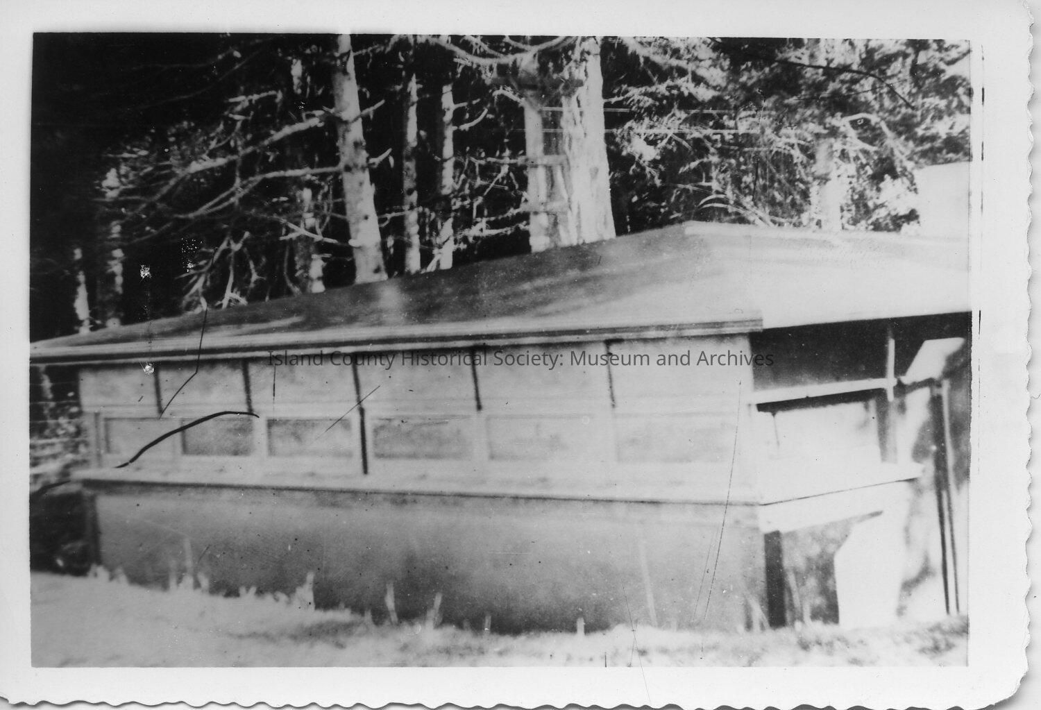
Secondary Fire Control Structure B"8 & B"9 2350 feet north west of Battery PArker Gun #1. Constructed 1908 ata cost of $2029.01. Sewell Type construction with canvas over shiplap roof. Include two Swasey Type A11 (srial #112 & 57) Depression Position Finding telescopes. B"8 for Battery Worth, B"9 for Battery Moore. Axis of instruments 167.28ft above Mean Low Water. The DPF's could be used independently for position finding or as one angle apex for a horizontal triangulation position finding system. The structure windows were facing west (camera facing north east). In WWII B"9 was converted to a fire control station for Fort Ebey. B"9 was empty. The building was torn down in 2009 but the telescope concrete mounts can still be seen (Camano Land Trust NAAS property)