HUB
Collections
Classifications
About
App
Chart, Navigational
Archive
-
Island County Historical Society
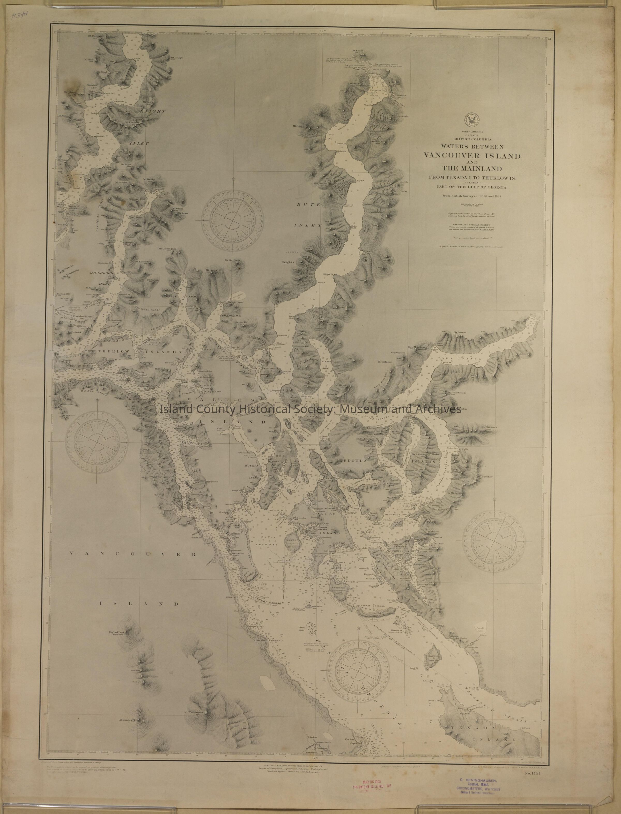
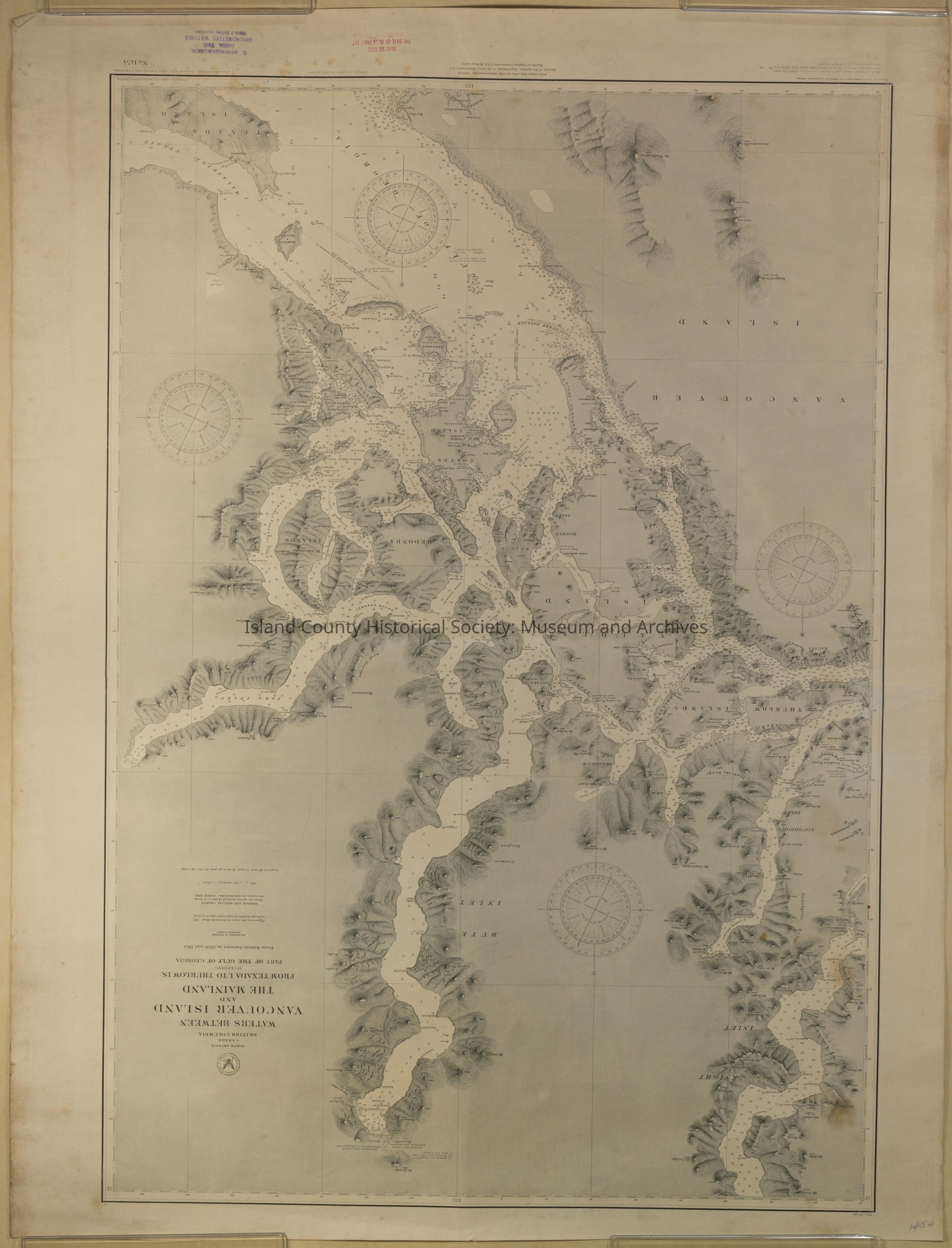
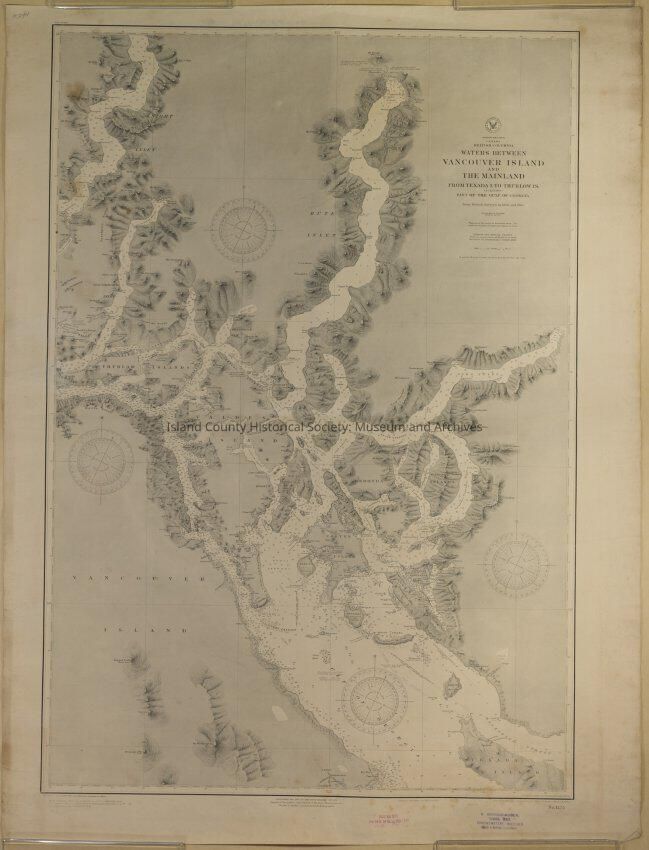
Name/Title
Chart, Navigational
Entry/Object ID
2018.066.008
Scope and Content
Navigation chart of Waters Between Vancouver Island and the Mainland from Texada Island to Thurlow Island. 1905 - from British surveys in 1860 and 1864
Lexicon
Nomenclature 4.0
Nomenclature Secondary Object Term
Chart, Navigational
Nomenclature Primary Object Term
Chart
Nomenclature Sub-Class
Graphic Documents
Nomenclature Class
Documentary Objects
Nomenclature Category
Category 08: Communication Objects
Archive Details
Date(s) of Creation
1905
Archive Size/Extent
Map