HUB
Collections
Classifications
About
App
Map
Archive
-
Island County Historical Society
Name/Title
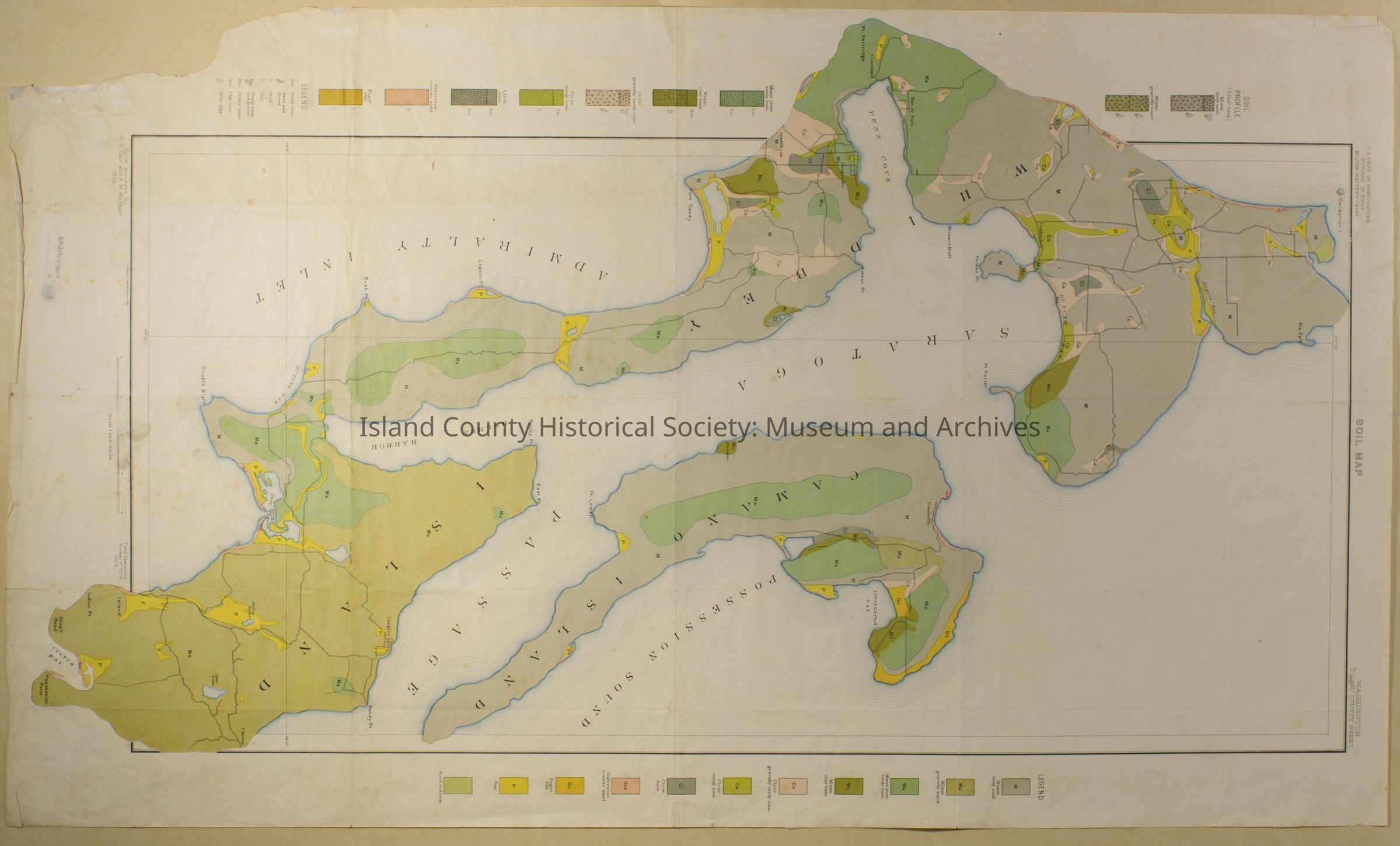
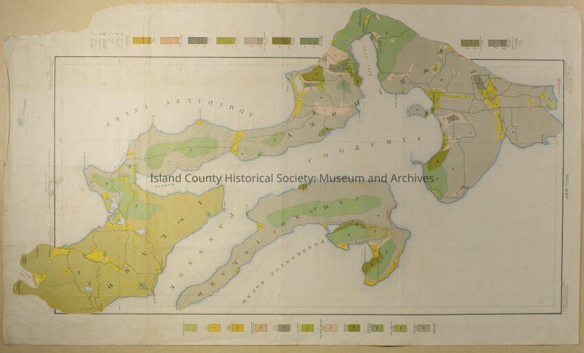
Map
Entry/Object ID
2015.005.071
Scope and Content
US Dept. of Agriculture Bureau of Soils - Soil Map Coupeville north to Deception south to Possession Point. Soils surveyed 1905.
Collection
.
Lexicon
Nomenclature 4.0
Nomenclature Secondary Object Term
Map
Nomenclature Primary Object Term
Cartograph
Nomenclature Sub-Class
Graphic Documents
Nomenclature Class
Documentary Objects
Nomenclature Category
Category 08: Communication Objects
Archive Details
Date(s) of Creation
1905