Name/Title
MapEntry/Object ID
2019.FIC.045Scope and Content
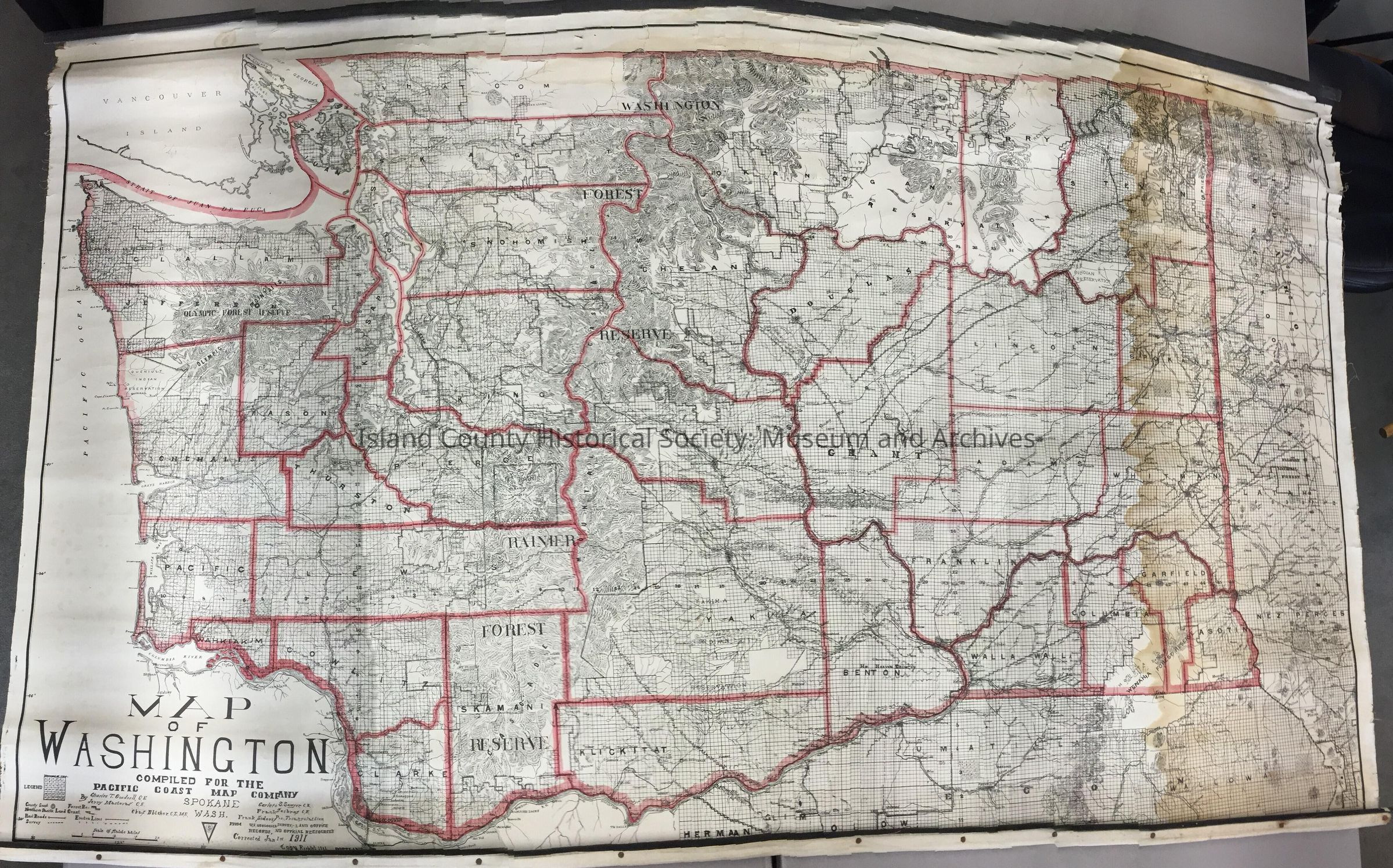
Map of Washington, corrected January 1, 1911. Compiled for the Pacific Coast Map Company, Spokane, Washington. By Charles T. Goodsell, C.E., Terry Mastoras, C.E., and 3 others. Canvas topographic and political boundary map of WA counties.
5'5"W x 3'5"HLexicon
Nomenclature 4.0
Nomenclature Secondary Object Term
MapNomenclature Primary Object Term
CartographNomenclature Sub-Class
Graphic DocumentsNomenclature Class
Documentary ObjectsNomenclature Category
Category 08: Communication Objects