Name/Title
MapEntry/Object ID
2019.FIC.047Scope and Content
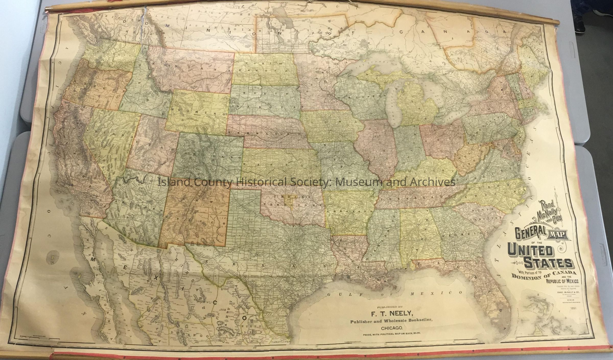
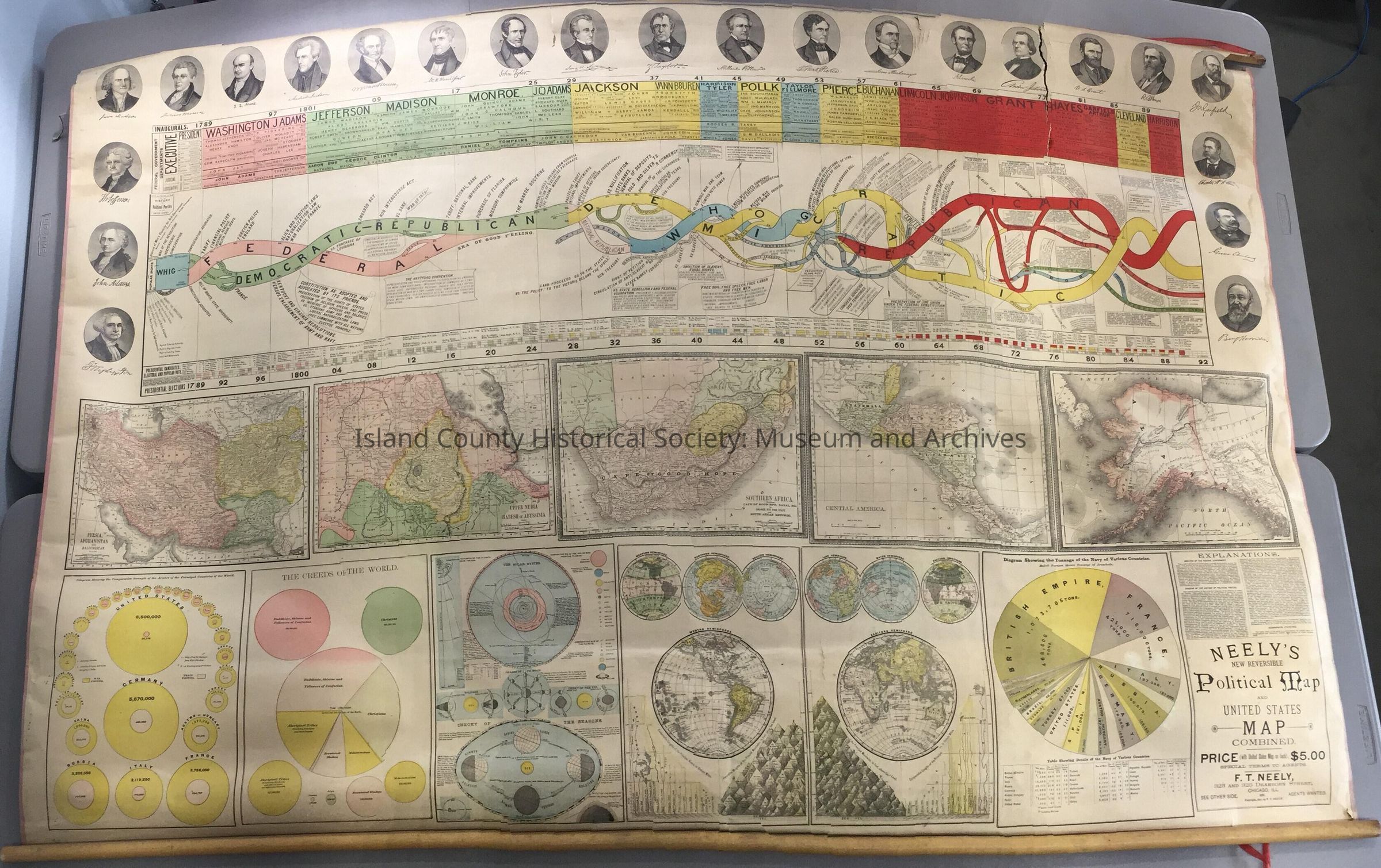
Rand McNally and Company General Map of the United States with Portions of the Dominion of Canada and the Republic of Mexico. 1891. Published by F. T. Neely, Chicago. Two sided map. Reverse side: photos of Presidents Washington through to Harrison, maps of solar system, Latin America, Alaska, South Africa, North Pacific Ocean, Southwest Asia, East Africa countries, creeds of the world, military strength, world navies tonnage.
5'8"W x 3'10"HLexicon
Nomenclature 4.0
Nomenclature Secondary Object Term
MapNomenclature Primary Object Term
CartographNomenclature Sub-Class
Graphic DocumentsNomenclature Class
Documentary ObjectsNomenclature Category
Category 08: Communication Objects