HUB
Collections
Classifications
About
App
Sandy Point Map
Archive
-
Island County Historical Society
Name/Title
Sandy Point Map
Entry/Object ID
2021.014.004
Scope and Content
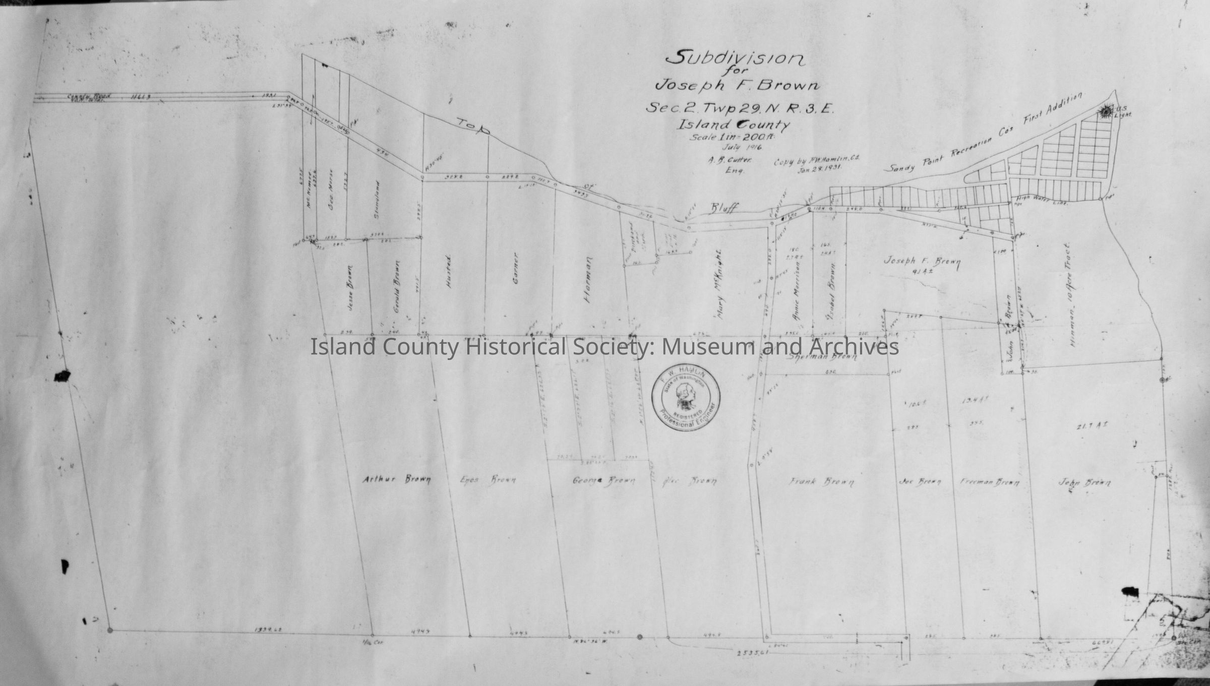
A white rolled up map with outlines of Sandy Point and the Brown Plats drawn on it. Physical item on loan (returned), digital copy donated.
Collection
Kyle Walker Collection
Lexicon
Nomenclature 4.0
Nomenclature Secondary Object Term
Map
Nomenclature Primary Object Term
Cartograph
Nomenclature Sub-Class
Graphic Documents
Nomenclature Class
Documentary Objects
Nomenclature Category
Category 08: Communication Objects
Archive Details
Date(s) of Creation
1968
Relationships
Related Person or Organization
Person or Organization
Joseph Brown