Print, Photographic

Name/Title

Print, Photographic

Entry/Object ID

2015.032.027c

Description

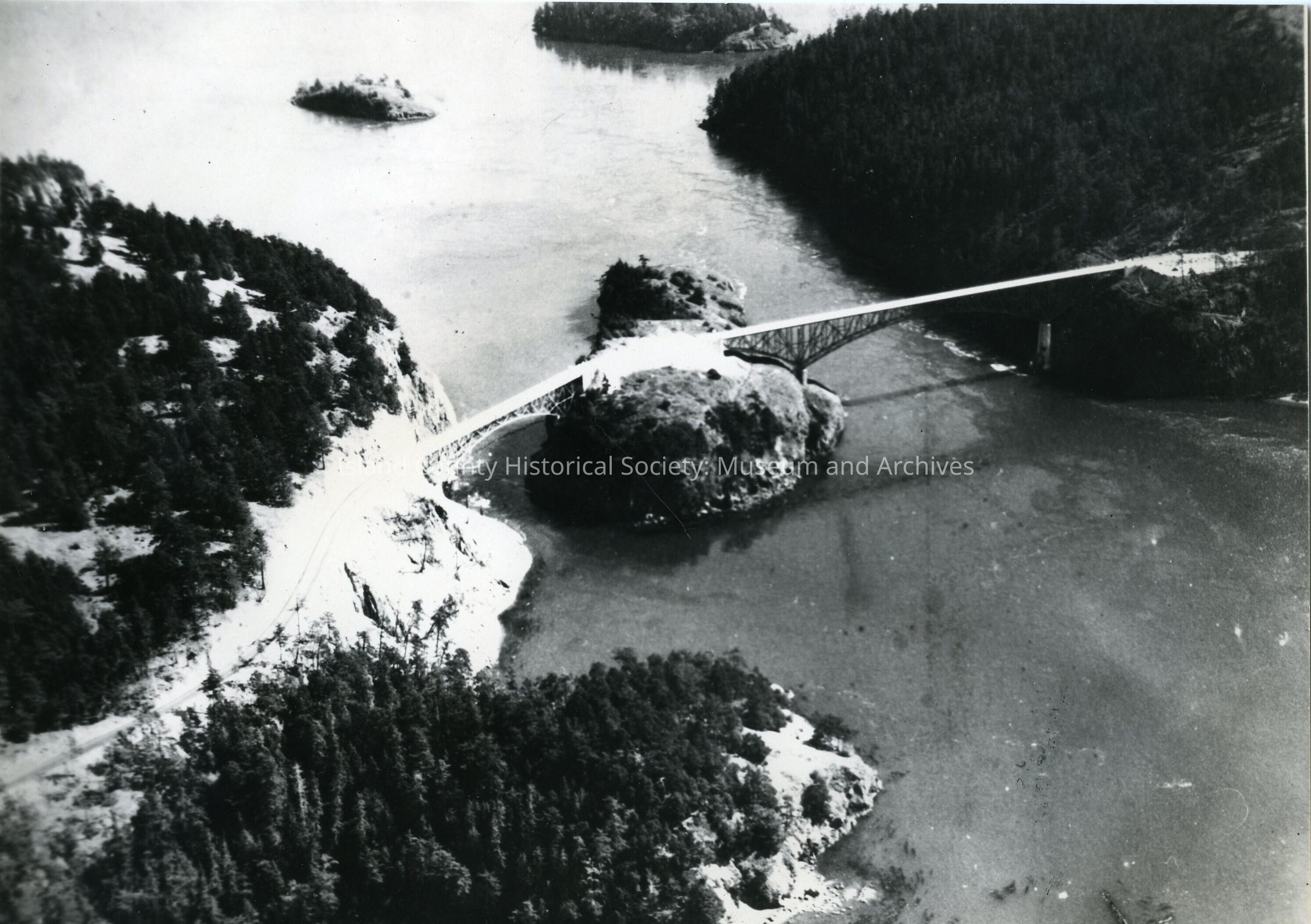
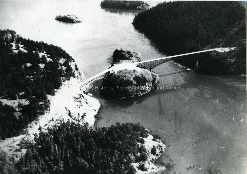
The photo is an aerial view of Deception Pass Bridge and Canoe Bridge. You can see Whidbey Island on the Right, Pass Island in the center of the photo and Fildalgo Island on the left. Whidbey and Fildalgo Island are both covered in trees. You can also see Strawberry Island in the top left of the photo and Ben Ure Island to the right of Strawberry Island.

Made/Created

Studio

Island Photo Lab

Place

Location

Deception Pass

County

Island County

State/Province

Washington

Region

Cascades and Plateau, Whidbey Island

Continent

North America

City

Oak Harbor, Washington

Notes

Medium: Photographic Paper

Lexicon

Nomenclature 4.0

Nomenclature Secondary Object Term

Print, Photographic

Nomenclature Primary Object Term

Photograph

Nomenclature Sub-Class

Graphic Documents

Nomenclature Class

Documentary Objects

Nomenclature Category

Category 08: Communication Objects

Dimensions

Height

10 in

Width

7 in

Relationships

Related Publications

Notes

Deception Pass Bridge RG 25