Name/Title

Map

Entry/Object ID

2015.023.035a

Description

Donated by Island Conservation District Adjoins 2015.023.036 16P55M24-IV209 Photo taken in 1940's? 
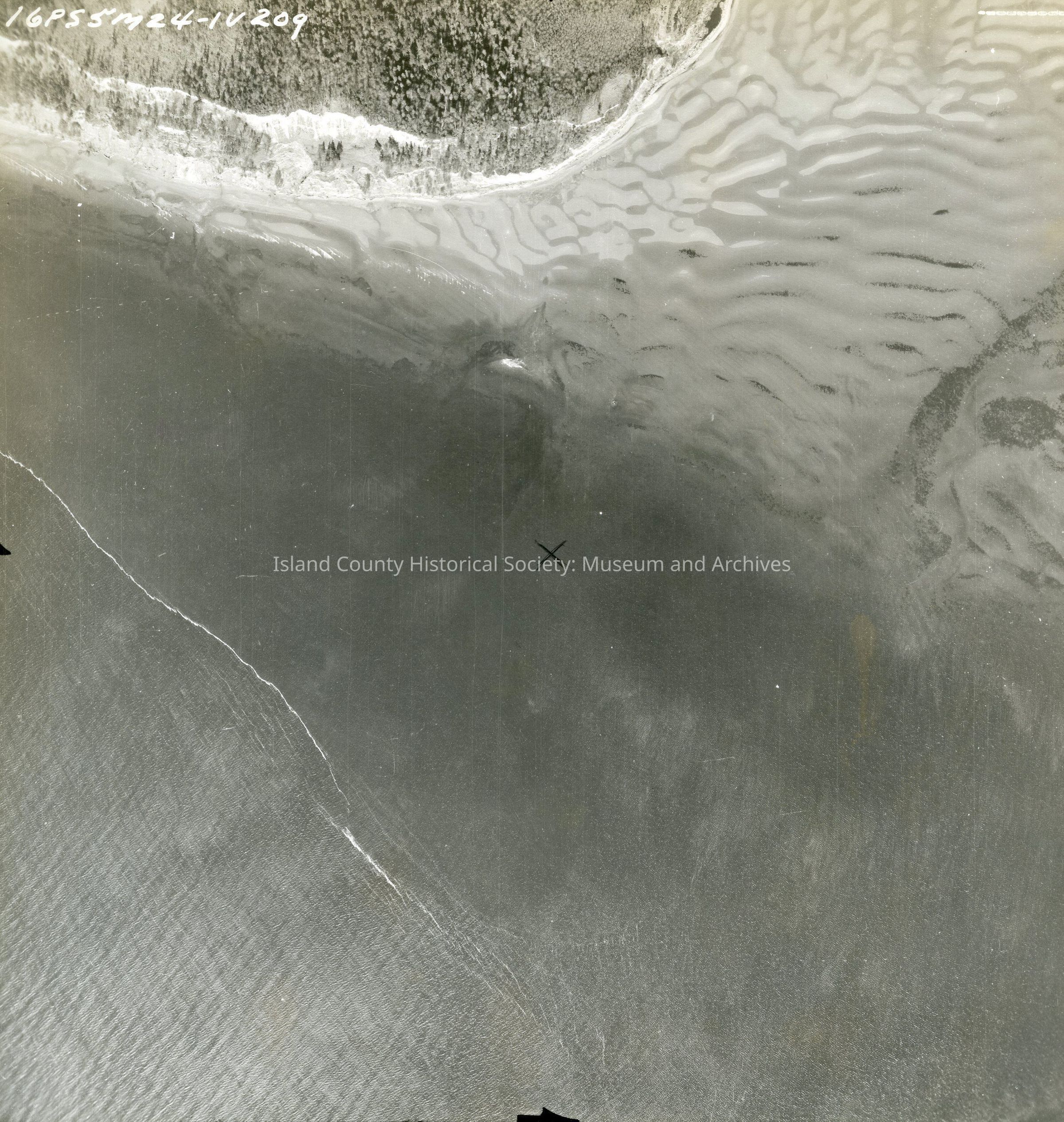
Tip of Scatchet Head, mostly water. Two inches of land on the north end of the photo. Mud flats can be seen to the east. Back states "Copied Dec. 20 195(8?) See GIS for digital copies.

Lexicon

Nomenclature 4.0

Nomenclature Secondary Object Term

Map

Nomenclature Primary Object Term

Cartograph

Nomenclature Sub-Class

Graphic Documents

Nomenclature Class

Documentary Objects

Nomenclature Category

Category 08: Communication Objects

Map Details

Area or Region

Region

Whidbey Island, Cascades and Plateau

State/Province

Washington

Continent

North America

County

Island County

Date Published

Jun 12, 2015

Medium

Photographic Paper

Relationships

Related Publications

Notes

RG 4 Maps