HUB
Collections
Classifications
About
App
Map
Archive
-
Island County Historical Society
Name/Title
Map
Entry/Object ID
2015.005.071
Scope and Content
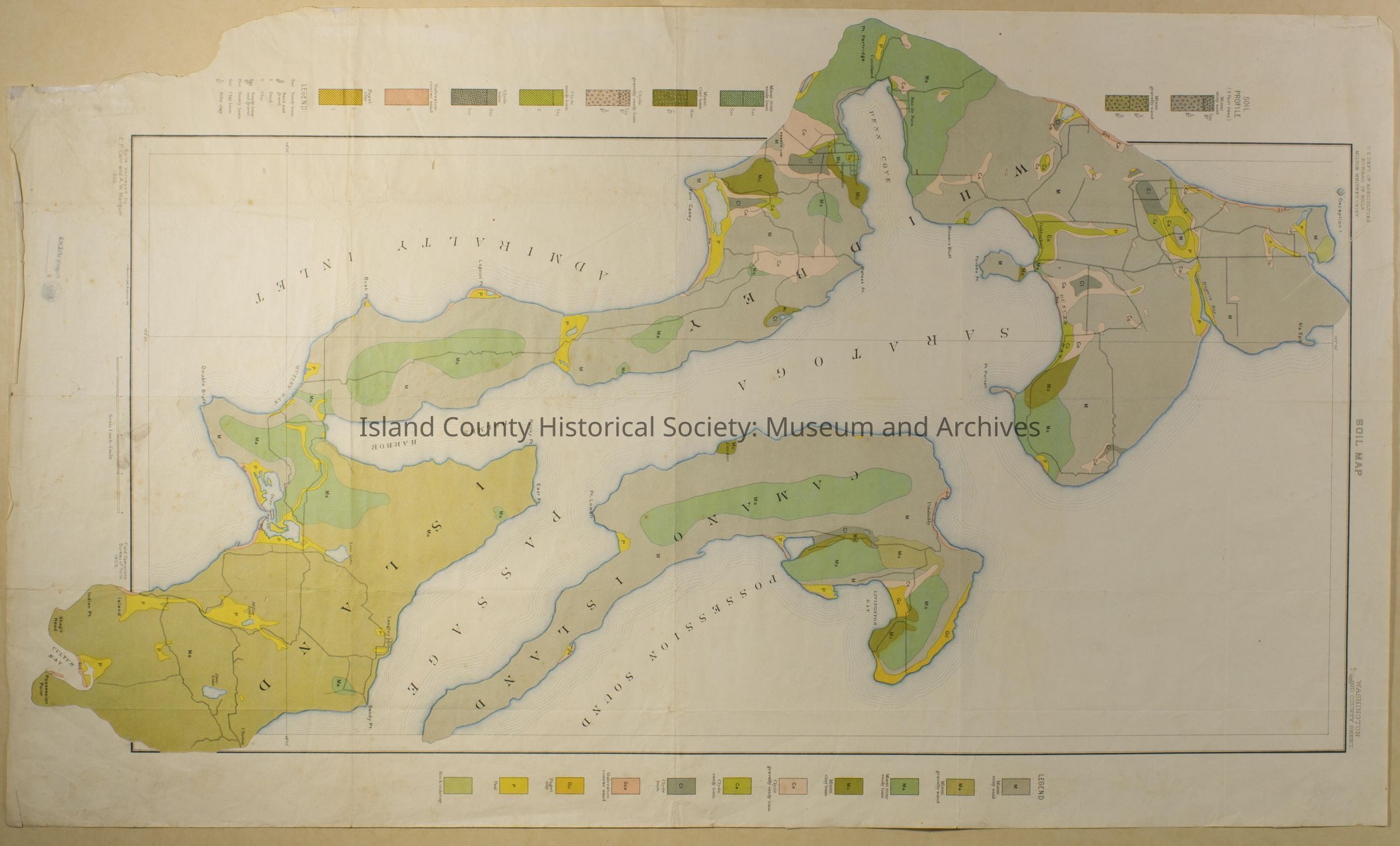
US Dept. of Agriculture Bureau of Soils - Soil Map Coupeville north to Deception south to Possession Point. Soils surveyed 1905.
Acquisition
Accession
2015.005
Lexicon
Nomenclature 4.0
Nomenclature Secondary Object Term
Map
Nomenclature Primary Object Term
Cartograph
Nomenclature Sub-Class
Graphic Documents
Nomenclature Class
Documentary Objects
Nomenclature Category
Category 08: Communication Objects
Archive Details
Date(s) of Creation
1905