Bayview Subdivision Map

Name/Title

Bayview Subdivision Map

Entry/Object ID

2015.005.049a

Description

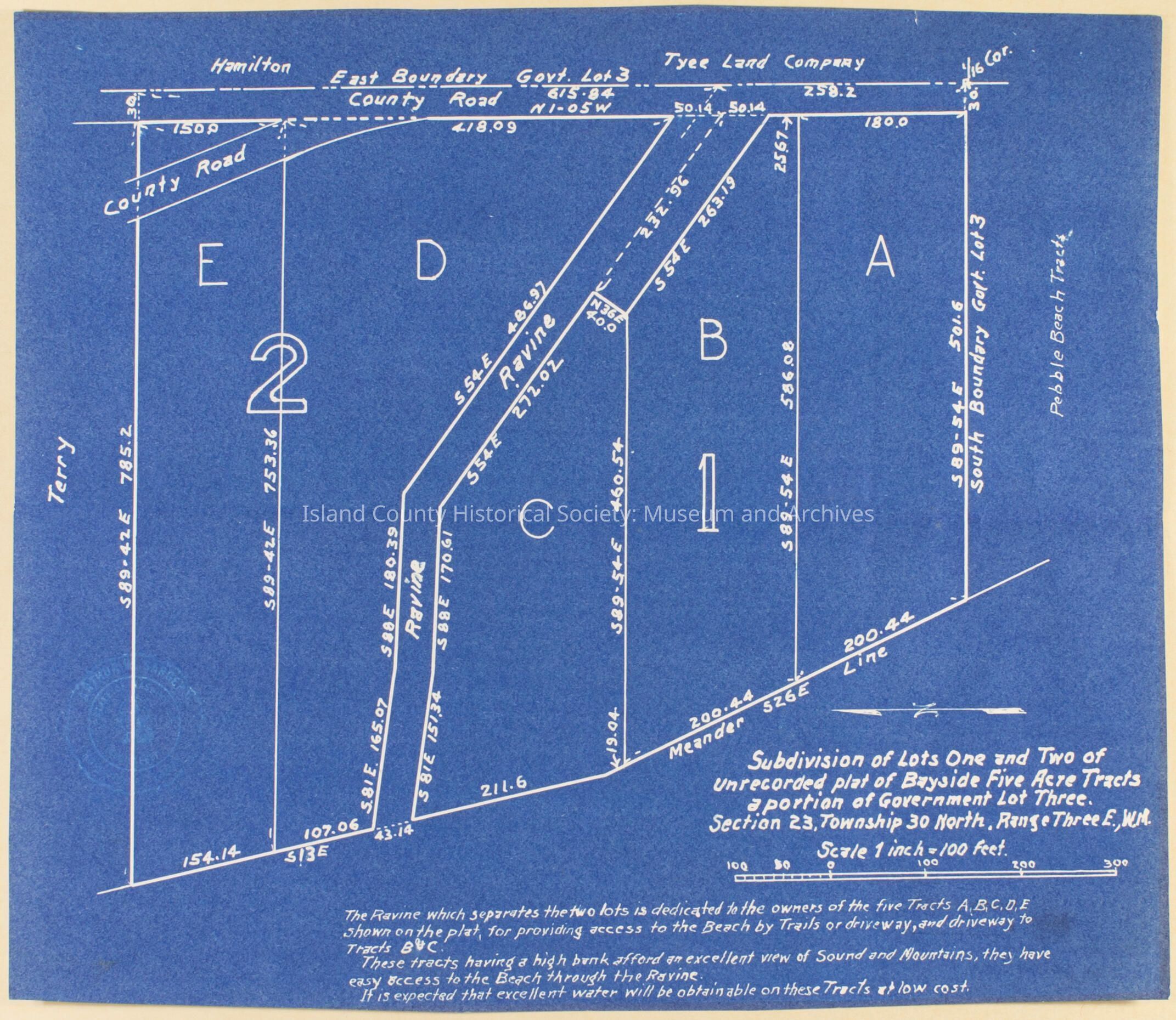
Blueprint map of Bayside 5-acre tract. Shows a portion of Gov't Lot 3, Section 23, Township 30N, Range 3E., W.M.

Acquisition

Accession

2015.005

Lexicon

Nomenclature 4.0

Nomenclature Secondary Object Term

Map

Nomenclature Secondary Object Term

Blueprint

Nomenclature Primary Object Term

Cartograph

Nomenclature Primary Object Term

Copy, Reprographic

Nomenclature Sub-Class

Graphic Documents

Nomenclature Sub-Class

Other Documents

Nomenclature Class

Documentary Objects

Nomenclature Category

Category 08: Communication Objects
Map Details

Scale

1 inch = 100 feet

Area or Region

Neighborhood

Bayview

City

Langley

County

Island County

State/Province

Washington

Country

United States of America

Continent

North America

Relationships

Related Entries

Notes

2015.005.049b