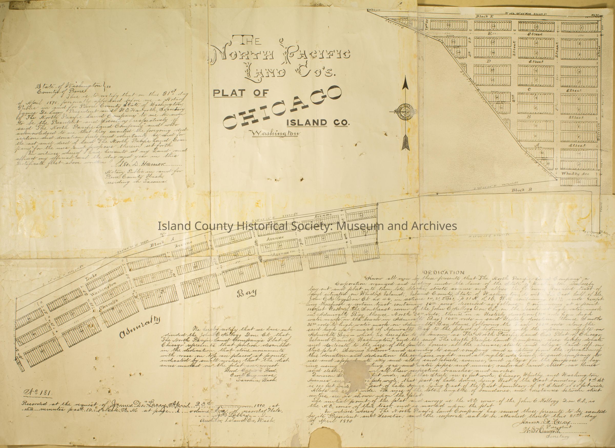
The North Pacific Land Company Plat of Chicago, Island County, Washington
Entry/Object ID
2017.047.002
Description
This is a map of the 1890 platted town of Chicago which was developed by the North Pacific Land Company. The map shows areas that were be developed for homes, businesses, bridge and a hotel. The map which was originally white has now yellowed due to age. Admiralty bay is distinguishable on the map as well as writing but most is undistinguishable.
Recorded at the request of James De Lacey, April 23, 1890 at 50 minutes past 10 o'clock AM at page 1 volume five of recording plats. Signed by J.B. Libbey, Island County Auditor.