HUB
Collections
Classifications
About
App
Map
Archive
-
Lincolnville Historical Society
Name/Title
Map
Entry/Object ID
LHS 2006.333.36
Scope and Content
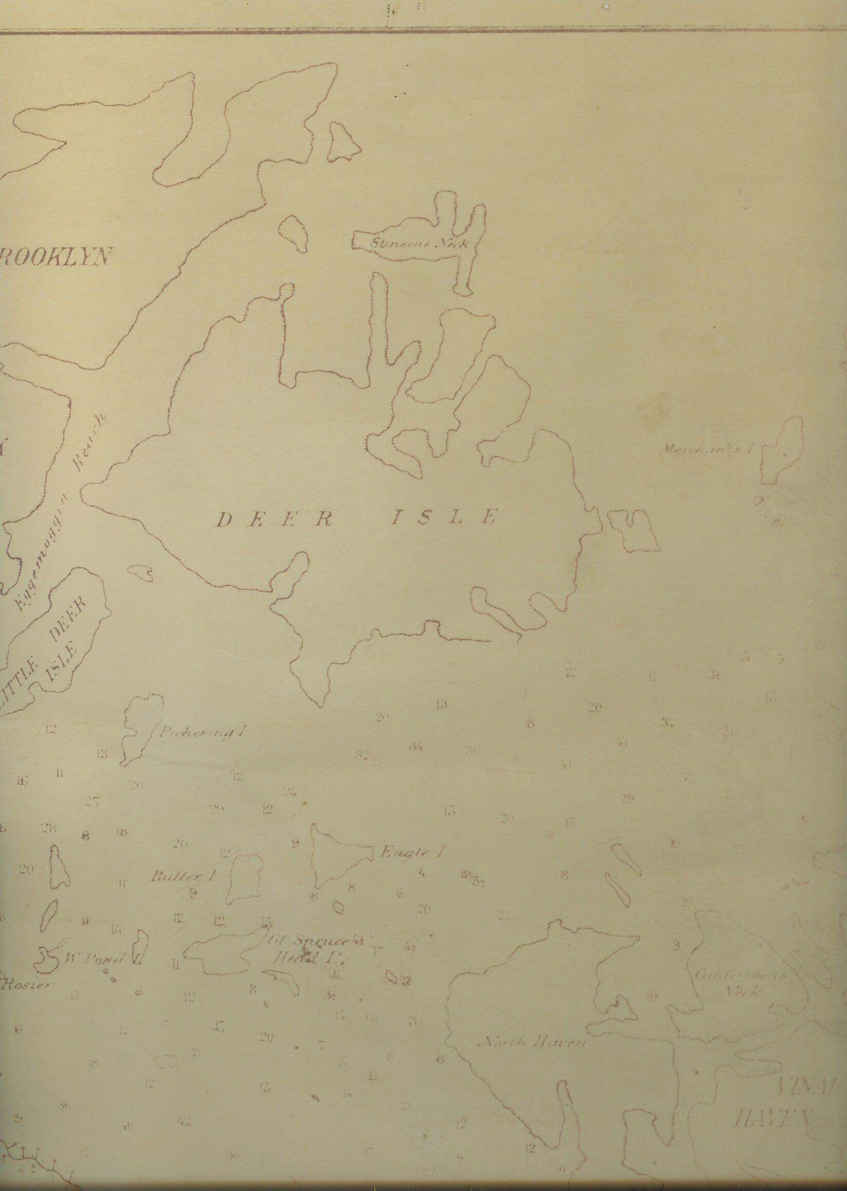
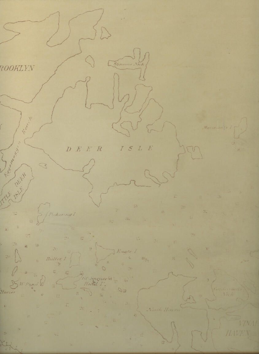
Map of weir and pound-net fisheries of Penobscot Bay's River. Very faint and difficult to read.
Update Date
November 22, 2021