Type
InscriptionLocation
Lower right cornerTranscription
6Material/Technique
PenType
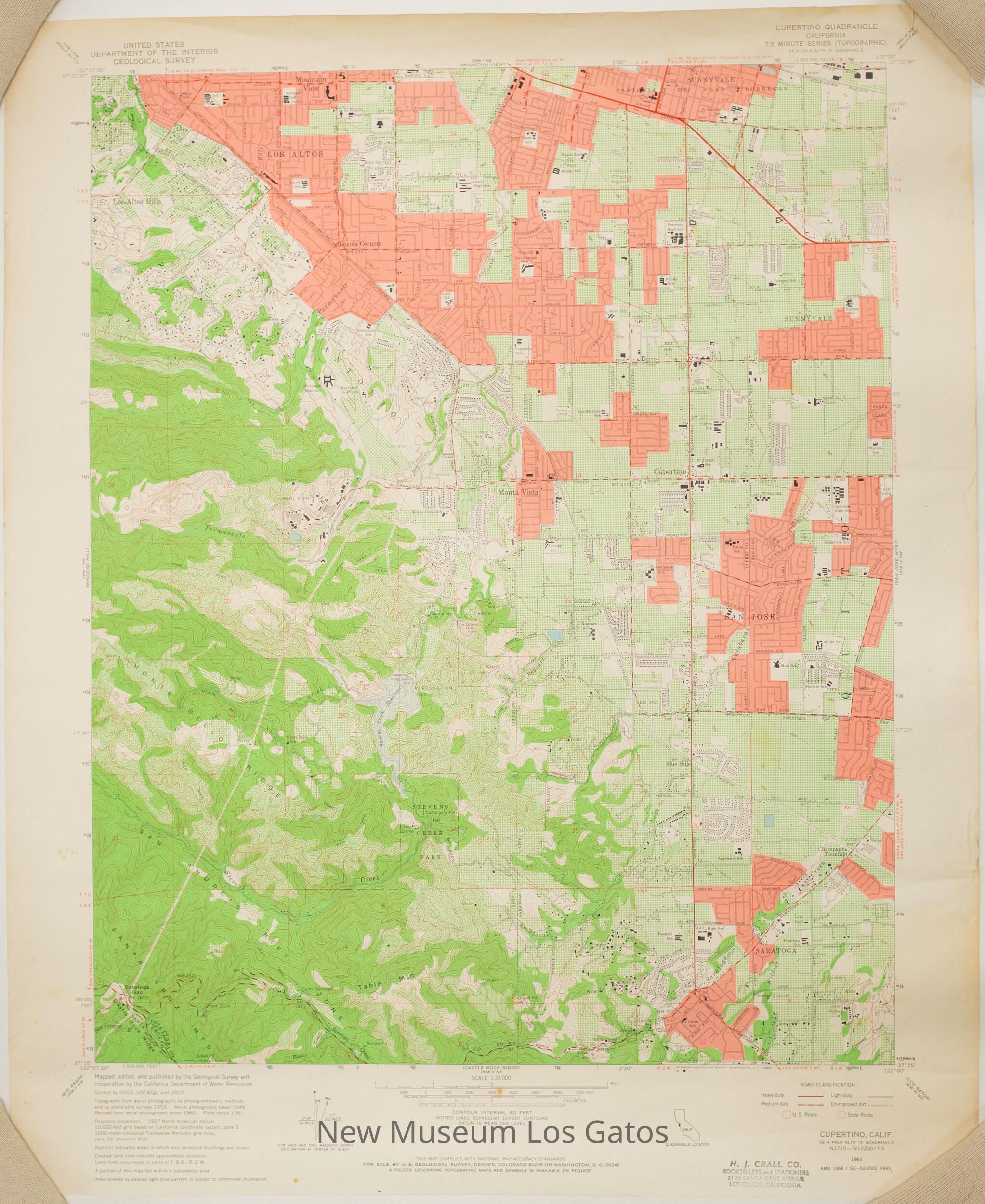
LabelLocation
Bottom edge, towards the leftTranscription
H. J. CRALL CO. / BOOKSELLERS and STATIONERS / 21 N. SANTA CRUZ AVENUE / LOS GATOS, CALIFORNIALanguage
EnglishMaterial/Technique
Stamped, Ink