Name/Title
USGS Gualala MapsEntry/Object ID
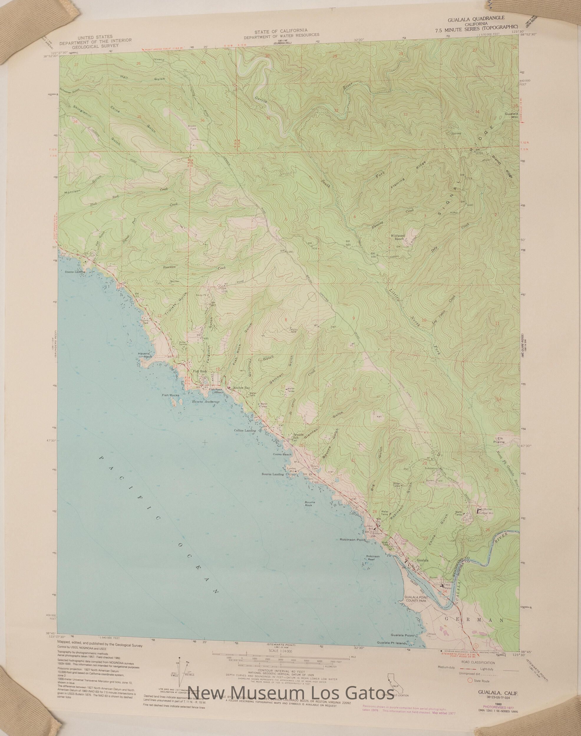
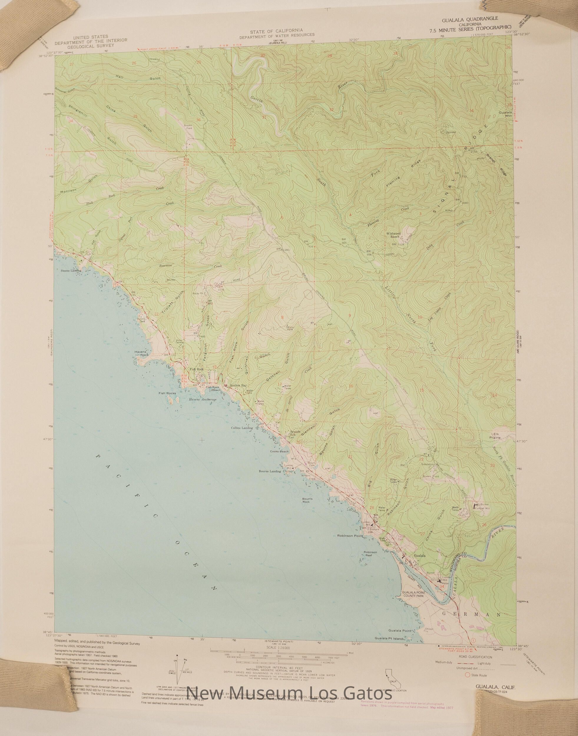
NU 2021.299.1-2Description
Two identical copies of a topographic, color map of the Gualala quadrangle in Mendocino and Sonoma Counties, California.Collection
History CollectionCataloged By
registrar@numulosgatos.orgLexicon
Nomenclature 4.0
Nomenclature Secondary Object Term
MapNomenclature Primary Object Term
CartographNomenclature Sub-Class
Graphic DocumentsNomenclature Class
Documentary ObjectsNomenclature Category
Category 08: Communication ObjectsMap Details
Maker or Creator
United States Geological SurveyScale
1:24,000Area or Region
Region
Northern California and OregonContinent
North AmericaDate Published
1977Medium
PaperPublication Language
EnglishDimensions
Width
22-1/8 inLength
27 inDimension Notes
Measurements taken while lying as flat as possible.Condition
Overall Condition
Very Good