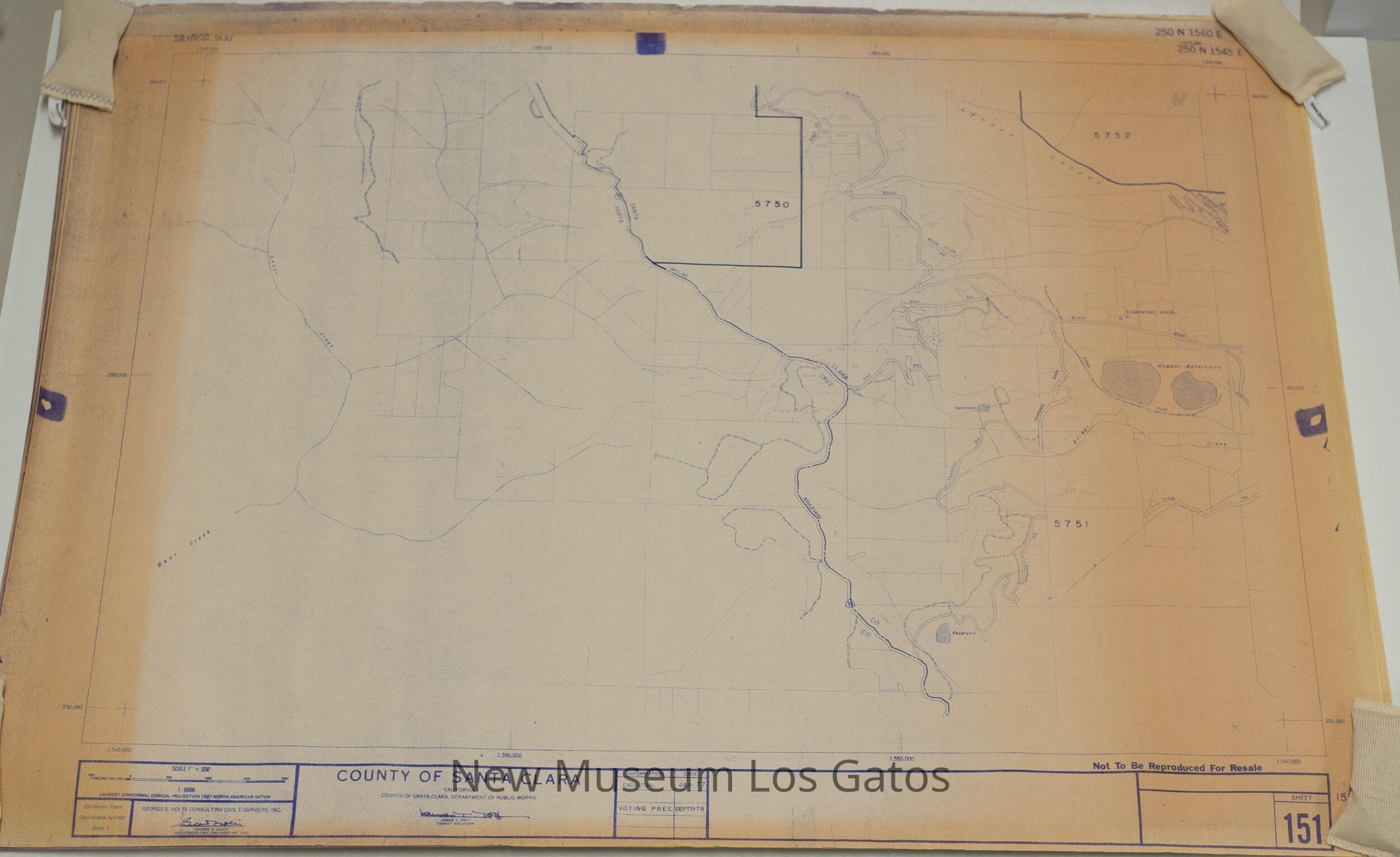
Name/Title
Santa Clara County Precinct MapsEntry/Object ID
NU 2021.280Description
Seventeen maps depicting the various voting precincts in Santa Clara County from 1972 through 1978.Collection
History CollectionCataloged By
registrar@numulosgatos.orgLexicon
Nomenclature 4.0
Nomenclature Secondary Object Term
MapNomenclature Primary Object Term
CartographNomenclature Sub-Class
Graphic DocumentsNomenclature Class
Documentary ObjectsNomenclature Category
Category 08: Communication ObjectsMap Details
Medium
PaperPublication Language
EnglishDimensions
Width
25-1/2 inLength
36-1/4 inDimension Notes
Measurements are for all maps.