HUB
Collections
Classifications
About
App
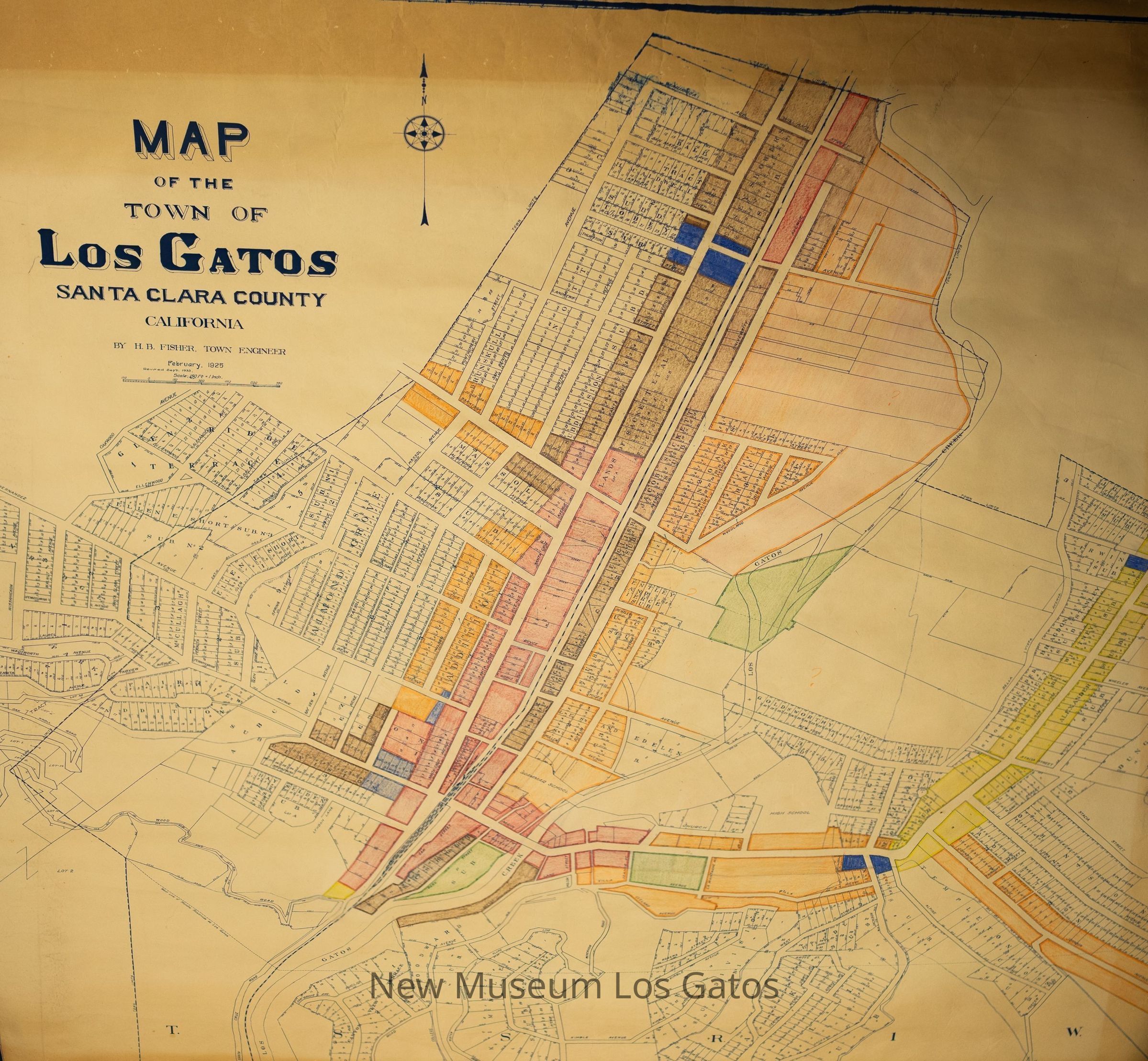
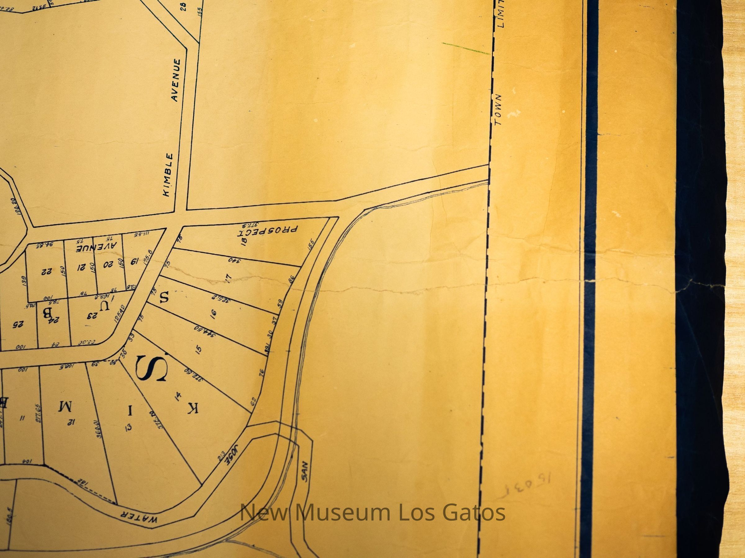
Map of the Town of Los Gatos
Map
-
New Museum Los Gatos
Name/Title
Map of the Town of Los Gatos
Entry/Object ID
NU 2025.6
Description
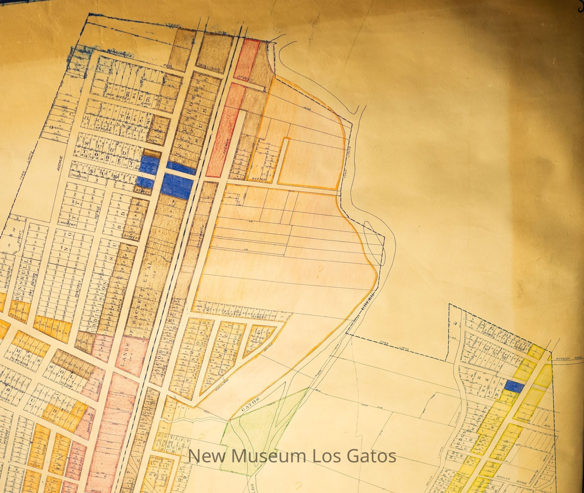
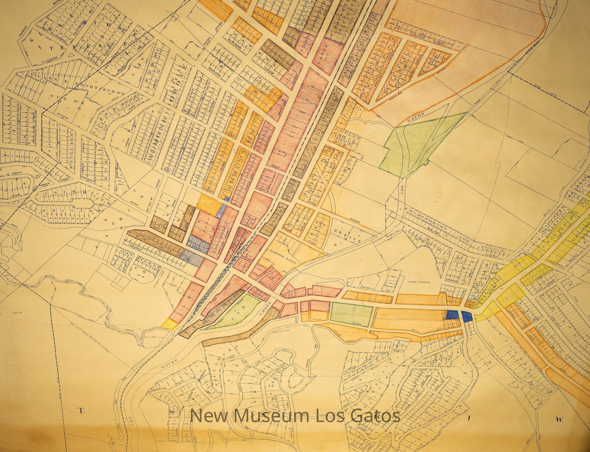
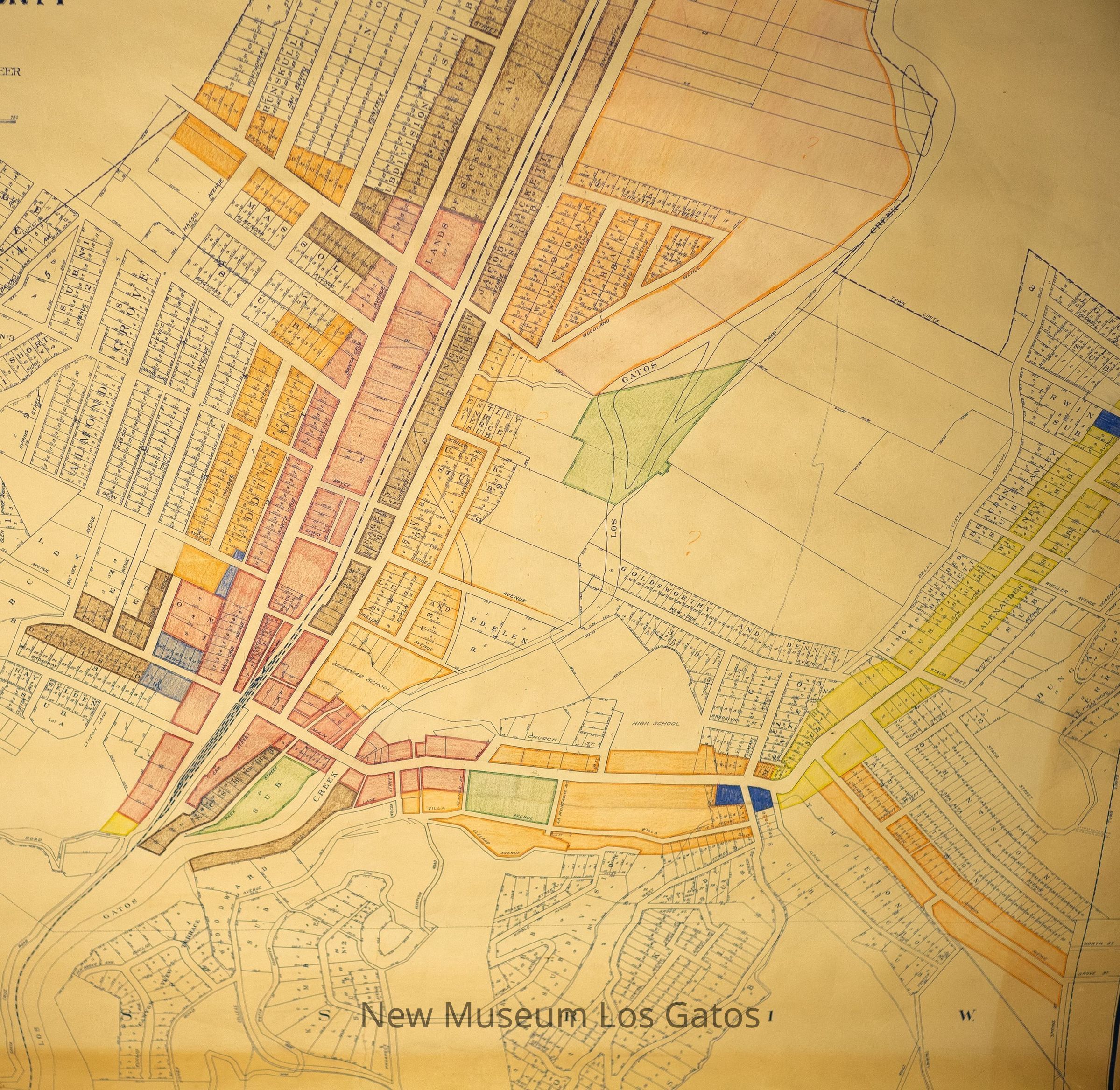
A vintage color-coded map of the town of Los Gatos in Santa Clara County, California.
Collection
History Collection
Cataloged By
[email protected]
Lexicon
Nomenclature 4.0
Nomenclature Secondary Object Term
Map
Nomenclature Primary Object Term
Cartograph
Nomenclature Sub-Class
Graphic Documents
Nomenclature Class
Documentary Objects
Nomenclature Category
Category 08: Communication Objects
Map Details
Maker or Creator
H.B. Fisher
Scale
150ft = 1in
Area or Region
City
Los Gatos
Region
Central California
Continent
North America
Illustrator
H.B. Fisher
Place Published
City
Los Gatos
Region
Central California
Continent
North America
Date Published
circa 1933
Time Period
20th Century
Medium
Paper
Publication Language
English
Map Notes
The map was originally made in 1925, however it indicates it was updated in 1933
Inscription/Signature/Marks
Type
Inscription
Location
Bottom center of the map
Transcription
15035
Material/Technique
Pencil
Notes
Unknown what this number references.
Type
Inscription
Location
Upper right corner of the map.
Transcription
Sewer {unintelligible}
Language
English
Material/Technique
Pencil,
Crayon
Dimensions
Width
54 in
Length
62 in
Condition
Overall Condition
Fair