HUB
Collections
Classifications
About
App
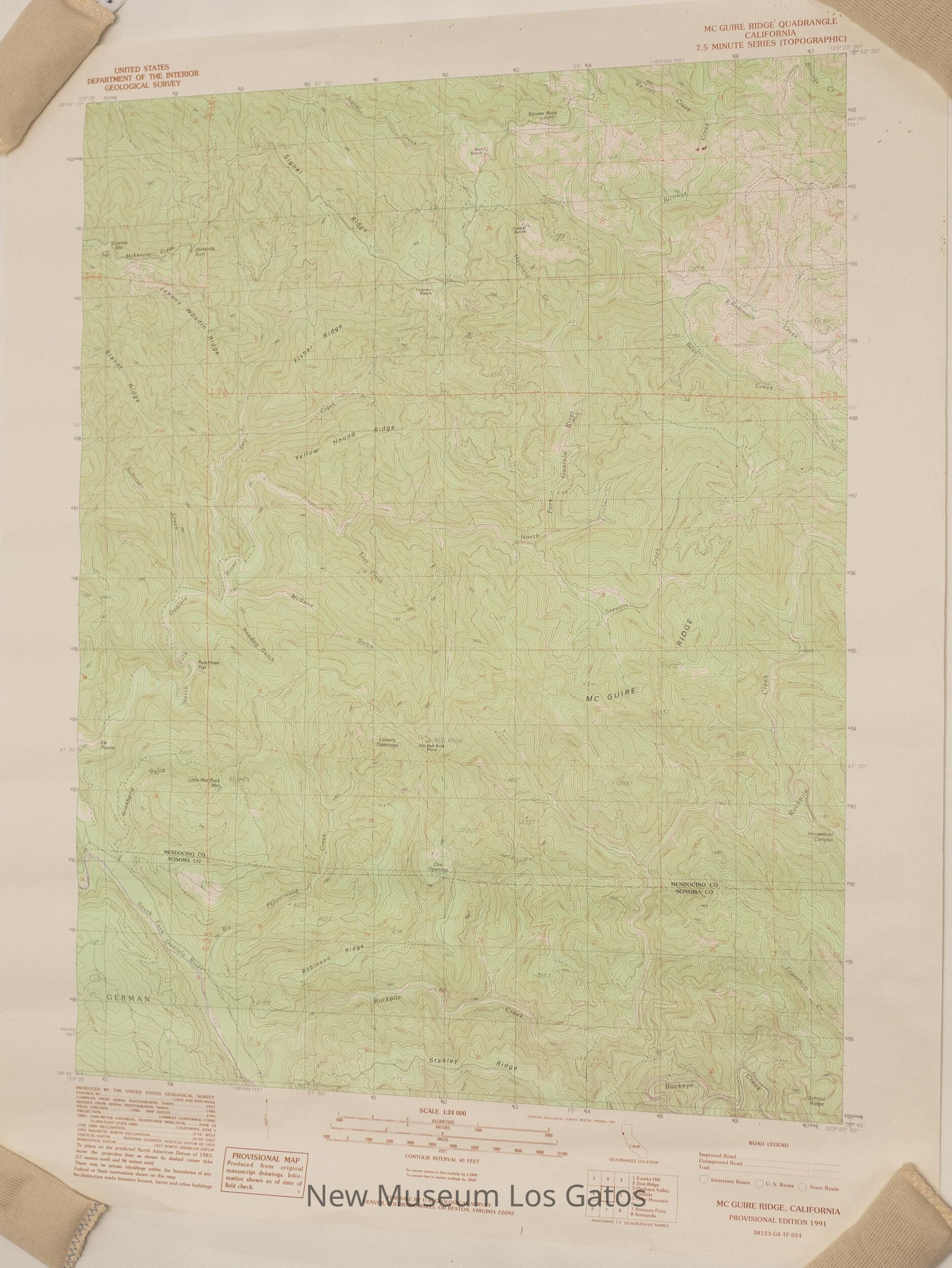
USGS McGuire Ridge Map
Map
-
New Museum Los Gatos
Name/Title
USGS McGuire Ridge Map
Entry/Object ID
NU 2021.281
Description
A topographical map depicting the McGuire Ridge in Sonoma and Mendocino counties.
Collection
History Collection
Cataloged By
[email protected]
Lexicon
Nomenclature 4.0
Nomenclature Secondary Object Term
Map
Nomenclature Primary Object Term
Cartograph
Nomenclature Sub-Class
Graphic Documents
Nomenclature Class
Documentary Objects
Nomenclature Category
Category 08: Communication Objects
Map Details
Maker or Creator
United States Geological Survey
Medium
Paper
Publication Language
English
Dimensions
Width
22 in
Length
27 in
Condition
Overall Condition
Good