Name/Title
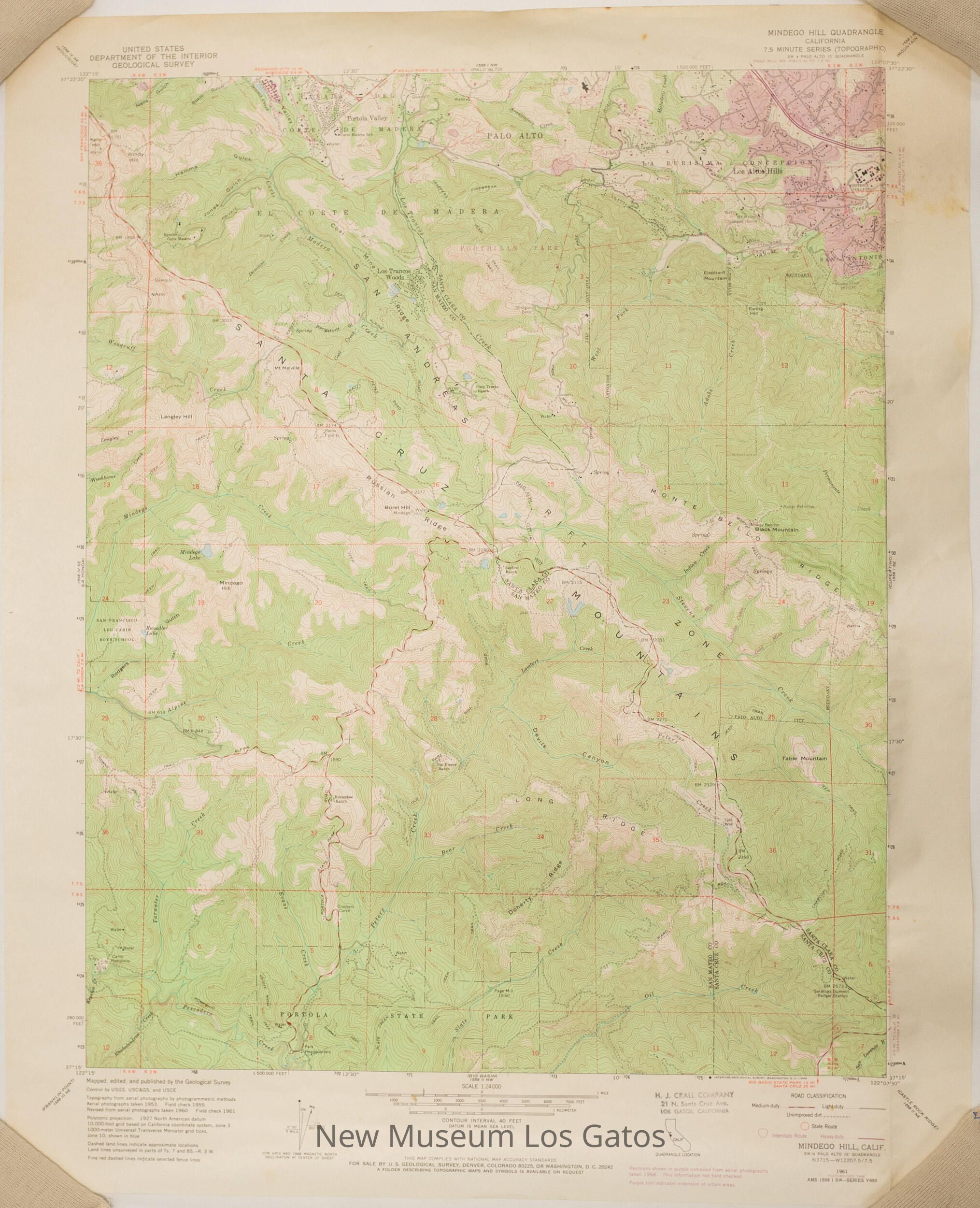
USGS Mindego Hill MapEntry/Object ID
NU 2022.10Description
A topographic, color map of the Mindego Hill quadrangle in Santa Clara, San Mateo, and Santa Cruz Counties, California.Collection
History CollectionLexicon
Nomenclature 4.0
Nomenclature Secondary Object Term
MapNomenclature Primary Object Term
CartographNomenclature Sub-Class
Graphic DocumentsNomenclature Class
Documentary ObjectsNomenclature Category
Category 08: Communication ObjectsMap Details
Maker or Creator
United States Geological SurveyScale
1:24,000Area or Region
Region
Central CaliforniaContinent
North AmericaEdition
RevisedSeries
7.5 Minute SeriesDate Published
1968Medium
PaperPublication Language
EnglishInscription/Signature/Marks
Type
InscriptionLocation
Lower right cornerTranscription
6Material/Technique
PenType
LabelLocation
Bottom edge, towards the rightTranscription
H. J. CRALL COMPANY / 21 N. Santa Cruz Ave. / LOS GATOS, CALIFORNIALanguage
EnglishMaterial/Technique
Stamped, InkDimensions
Width
22 inLength
27 inDimension Notes
Measurements taken while lying as flat as possible.Relationships
Related Person or Organization
Person or Organization
H.J. Crall Company