HUB
Collections
Classifications
About
App
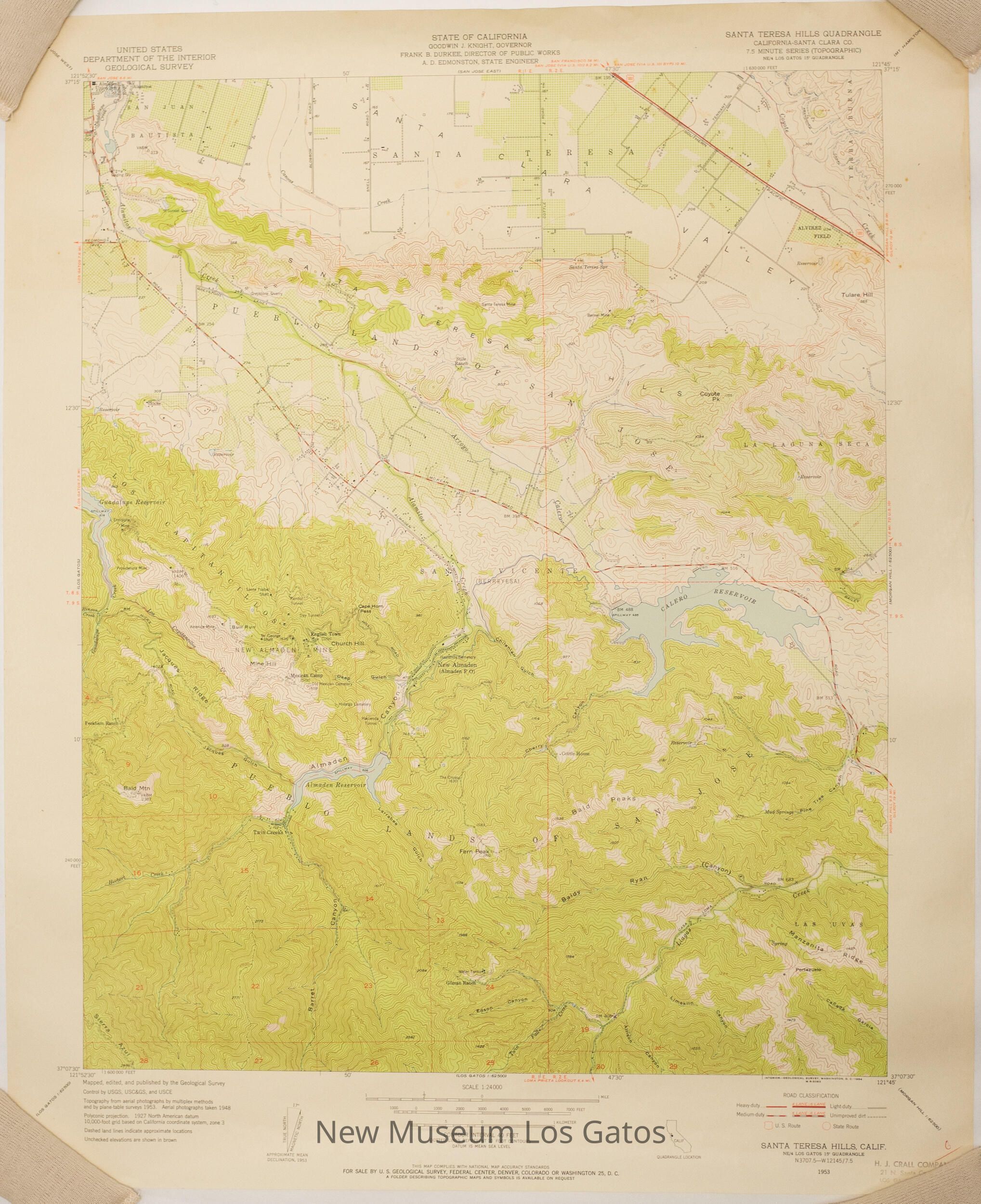
USGS Santa Teresa Hills Map
Map
-
New Museum Los Gatos
Name/Title
USGS Santa Teresa Hills Map
Entry/Object ID
NU 2022.7
Description
A topographic, color map of the Santa Teresa Hills quadrangle in Santa Clara County, California.
Collection
History Collection
Cataloged By
[email protected]
Lexicon
Nomenclature 4.0
Nomenclature Secondary Object Term
Map
Nomenclature Primary Object Term
Cartograph
Nomenclature Sub-Class
Graphic Documents
Nomenclature Class
Documentary Objects
Nomenclature Category
Category 08: Communication Objects
Map Details
Maker or Creator
United States Geological Survey
Scale
1:24,000
Area or Region
Region
Central California
Continent
North America
Edition
First
Series
7.5 Minute Series
Date Published
1953
Medium
Paper
Publication Language
English
Inscription/Signature/Marks
Type
Inscription
Location
Lower right corner
Transcription
6
Material/Technique
Pen
Type
Label
Location
Lower right corner
Transcription
H. J. CRALL COMPANY / 21 N. Santa Cruz Ave. / LOS GATOS, CALIFORNIA
Language
English
Material/Technique
Stamped,
Ink
Dimensions
Width
22 in
Length
27 in
Dimension Notes
Measurements taken while lying as flat as possible.
Condition
Overall Condition
Good
Relationships
Related Person or Organization
Person or Organization
H.J. Crall Company